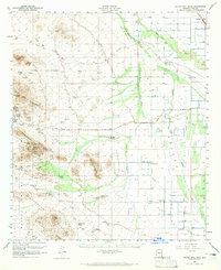
1959 Map of Silver Bell Peak
USGS Topo · Published 1965About this map
Silver Bell Mine and its extensive Tailings Pond dominate the western slopes of the Silver Bell Mountains, marking a period of intense industrial activity in Pima County during the late 1950s. The landscape is a study in the intersection of desert ranching and heavy industry, where the Papago Indian Reservation boundary meets the rugged terrain of the Waterman Mountains and the Roskruge Mountains.
Find a feature on this map
43 named features on this map. Tap any name to fly to it.
Don’t see what you’re looking for? This feature index may not catch every label — zoom into the map to look around manually.
Map Details
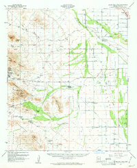
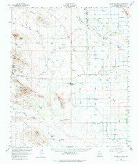
Editions of this 1959 Silver Bell Peak Map
3 editions found
Other maps of this area

1925 · San Xavier
USGS Topo · 1:62,500

1934 · Tucson Mountains
USGS Topo · 1:125,000

1934 · Silver Bell
USGS Topo · 1:125,000

1934 · Newman Peak
USGS Topo · 1:125,000

1938 · San Vicente
USGS Topo · 1:62,500

1941 · San Vicente
USGS Topo · 1:62,500

1941 · Cocoraque Butte
USGS Topo · 1:62,500

1942 · San Vicente
USGS Topo · 1:62,500

1943 · Cocoraque Butte
USGS Topo · 1:62,500

1943 · San Xavier Mission
USGS Topo · 1:62,500