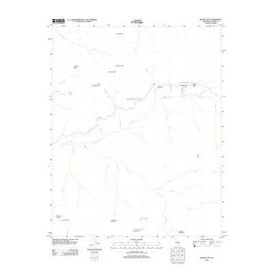
2012 Map of Silver City
USGS Topo · Published 2012About this map
Silver City and Cabin Cove represent the primary points of human settlement along the winding Mineral King Rd in this high-altitude Tulare County landscape. The area is defined by sharp topographic relief, where the E Fork Kaweah River and its numerous tributaries, such as Atwell Cr and Deer Cr, carve through the terrain. Evidence of seasonal use and forestry history appears at Atwell Mill Campground and Camp Conifer, while the high ridgelines are marked by landmarks like Castle Rocks and Cahoon Rock Lookout. Further south, the map details a wilderness of high meadows and alpine water bodies including Hockett Meadows, Evelyn Lake, and Oriole Lake. This survey illustrates the intricate drainage systems and distinct granite features like Homers Nose that characterize this portion of the Sierra Nevada.
Find a feature on this map
37 named features on this map. Tap any name to fly to it.
Don’t see what you’re looking for? This feature index may not catch every label — zoom into the map to look around manually.
Map Details
Editions of this 2012 Silver City Map
This is the sole edition of this map. No revisions or reprints were ever made.
Other maps of this area

1903 · Tehipite
USGS Topo · 1:125,000

1904 · Kaweah
USGS Topo · 1:125,000

1905 · Tehipite
USGS Topo · 1:125,000

1909 · Kaweah
USGS Topo · 1:125,000

1937 · Kaweah
USGS Topo · 1:125,000

1948 · Fresno
USGS Topo · 1:250,000

1955 · Fresno
USGS Topo · 1:250,000

1956 · Fresno
USGS Topo · 1:250,000

1956 · Giant Forest
USGS Topo · 1:62,500

1956 · Mineral King
USGS Topo · 1:62,500