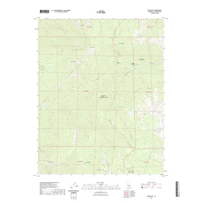
2021 Map of Silver City
USGS Topo · Published 2021About this map
Sequoia National Park terrain dominates this modern survey, characterized by deep river valleys and high-elevation peaks. The E Fork Kaweah River carves through the center of the sheet, flanked by prominent features like Paradise Ridge and Conifer Ridge. Small mountain communities such as Silver City and Cabin Cove are reachable via the winding Mineral King Rd, which traces the river canyon.
Find a feature on this map
48 named features on this map. Tap any name to fly to it.
Don’t see what you’re looking for? This feature index may not catch every label — zoom into the map to look around manually.
Map Details
Editions of this 2021 Silver City Map
This is the sole edition of this map. No revisions or reprints were ever made.
Other maps of this area

1903 · Tehipite
USGS Topo · 1:125,000

1904 · Kaweah
USGS Topo · 1:125,000

1905 · Tehipite
USGS Topo · 1:125,000

1909 · Kaweah
USGS Topo · 1:125,000

1937 · Kaweah
USGS Topo · 1:125,000

1948 · Fresno
USGS Topo · 1:250,000

1955 · Fresno
USGS Topo · 1:250,000

1956 · Fresno
USGS Topo · 1:250,000

1956 · Giant Forest
USGS Topo · 1:62,500

1956 · Mineral King
USGS Topo · 1:62,500