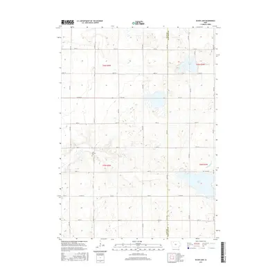
2015 Map of Silver Lake
USGS Topo · Published 2015About this map
Silver Lake and Virgin Lake dominate the glaciated prairie landscape of eastern Clay County along the border with Palo Alto County. This 2015 survey reveals a terrain defined by agricultural section lines and an intricate network of waterways, including Elk Cr and the engineered Ditch Number 6. The Logan Township Cem stands as a primary genealogical landmark for local family researchers, situated west of the central drainage basins. Notable local naming conventions are evident in the township roads and the distinctively titled Hwy To Heaven, which runs along the northern shore of Silver Lake. The map illustrates the persistent importance of water management in this region, where natural lakes like Elk Lake sit amidst a grid of county highways and township sections.
Find a feature on this map
22 named features on this map. Tap any name to fly to it.
Don’t see what you’re looking for? This feature index may not catch every label — zoom into the map to look around manually.
Map Details
Editions of this 2015 Silver Lake Map
This is the sole edition of this map. No revisions or reprints were ever made.
Other maps of this area

1954 · Fairmont
USGS Topo · 1:250,000

1954 · Fort Dodge
USGS Topo · 1:250,000

1957 · Fort Dodge
USGS Topo · 1:250,000

1958 · Fort Dodge
USGS Topo · 1:250,000

1958 · Fairmont
USGS Topo · 1:250,000

1966 · Gillett Grove
USGS Topo · 1:24,000

1966 · Dickens
USGS Topo · 1:24,000

1971 · Rush Lake East
USGS Topo · 1:24,000

1971 · Rush Lake West
USGS Topo · 1:24,000

1971 · Webb
USGS Topo · 1:24,000