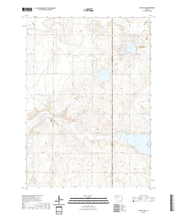
2022 Map of Silver Lake
USGS Topo · Published 2022About this map
Logan Township Cem stands as a quiet anchor in this prairie landscape, reflecting the agricultural roots of the border between Clay and Palo Alto counties. The area is defined by its glacial hydrology, where several prominent water bodies like Silver Lake and Virgin Lake dot the township sections. The rectilinear grid of county roads, including Co Hwy B40 and Co Hwy N 14, illustrates the enduring structure of Iowa's rural land management. Significant drainage features such as Elk Cr and Ditch Number 6 demonstrate the modifications made to the natural wetlands to support the surrounding farmland. Smaller roads like S Shore Dr and the uniquely named Hwy To Heaven provide access to the lakeshores, while Elk Lake remains a central geographic landmark within these farming townships.
Find a feature on this map
31 named features on this map. Tap any name to fly to it.
Don’t see what you’re looking for? This feature index may not catch every label — zoom into the map to look around manually.
Map Details
Editions of this 2022 Silver Lake Map
This is the sole edition of this map. No revisions or reprints were ever made.
Other maps of this area

1954 · Fairmont
USGS Topo · 1:250,000

1954 · Fort Dodge
USGS Topo · 1:250,000

1957 · Fort Dodge
USGS Topo · 1:250,000

1958 · Fort Dodge
USGS Topo · 1:250,000

1958 · Fairmont
USGS Topo · 1:250,000

1966 · Gillett Grove
USGS Topo · 1:24,000

1966 · Dickens
USGS Topo · 1:24,000

1971 · Rush Lake East
USGS Topo · 1:24,000

1971 · Rush Lake West
USGS Topo · 1:24,000

1971 · Webb
USGS Topo · 1:24,000