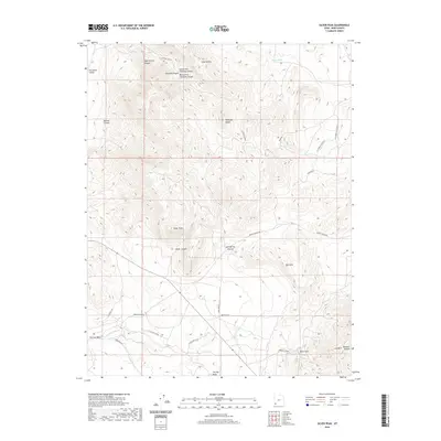
2020 Map of Silver Peak
USGS Topo · Published 2020About this map
Silver Peak dominates this Iron County landscape, rising amidst a complex network of canyons and washes that reflect the region's mineral history. The naming of Bullion Canyon, Chloride Canyon, and Miner Hill points to a legacy of prospecting and resource extraction in the Antelope Range. In the southern reaches, Iron Town Rd and Iron Mtn underscore the area's importance to early Utah industrial efforts. Water sources like Joel Spring and Sand Spring provide critical landmarks in a terrain carved by Little Pinto Creek and the broad Escalante Valley. The infrastructure shown, including Desert Mound Rd and various routes like Burn Rd, reveals how modern transit navigates the same paths once established by miners and ranchers.
Find a feature on this map
33 named features on this map. Tap any name to fly to it.
Don’t see what you’re looking for? This feature index may not catch every label — zoom into the map to look around manually.
Map Details
Editions of this 2020 Silver Peak Map
This is the sole edition of this map. No revisions or reprints were ever made.
Other maps of this area

1885 · St. George
USGS Topo · 1:250,000

1891 · St. George
USGS Topo · 1:250,000

1950 · Antelope Peak
USGS Topo · 1:24,000

1950 · Iron Mountain
USGS Topo · 1:62,500

1950 · Stoddard Mtn
USGS Topo · 1:24,000

1950 · Silver Peak
USGS Topo · 1:24,000

1950 · Desert Mound
USGS Topo · 1:24,000

1950 · Page Ranch
USGS Topo · 1:24,000

1950 · Avon SE
USGS Topo · 1:24,000

1951 · Avon SE
USGS Topo · 1:24,000