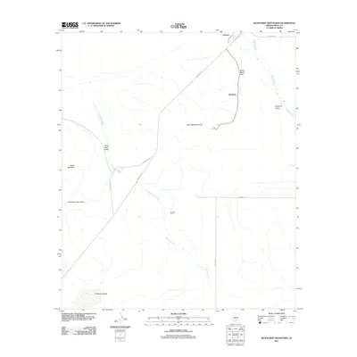
2011 Map of Silver Reef Mountains
USGS Topo · Published 2011About this map
Chuichu and the small settlement of Shopishk anchor this portion of the Sif Oidak District, situated where the high desert meets the northern edges of the Tat Momoli Mountains. The landscape is defined by its drainage patterns and mountain passes, notably White Horse Pass and the drainage of Greene Wash to the northeast. Arid valleys like Shopishk Valley and Silver Reef Valley show a reliance on traditional desert routes and ranching sites, such as Armenta Ranch.
Find a feature on this map
19 named features on this map. Tap any name to fly to it.
Don’t see what you’re looking for? This feature index may not catch every label — zoom into the map to look around manually.
Map Details
Editions of this 2011 Silver Reef Mountains Map
This is the sole edition of this map. No revisions or reprints were ever made.
Other maps of this area

1922 · Casa Grande
USGS Topo · 1:62,500

1922 · Signal Peak
USGS Topo · 1:62,500

1924 · Signal Peak
USGS Topo · 1:62,500

1924 · Casa Grande
USGS Topo · 1:62,500

1942 · Silver Reef Mountains
USGS Topo · 1:62,500

1947 · Eloy
USGS Topo · 1:62,500

1948 · Eloy
USGS Topo · 1:62,500

1956 · Tucson
USGS Topo · 1:250,000

1958 · Tucson
USGS Topo · 1:250,000

1959 · Tucson
USGS Topo · 1:250,000