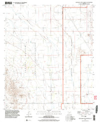
1996 Map of Silver Reef Mountains SE
USGS Topo · Published 2003About this map
Tohono O'odham Indian Reservation lands dominate the western half of this Arizona landscape, characterized by the broad alluvial drainage of Tat Momoli Wash. This desert terrain is defined by the sharp transition between the open Tat Momoli Valley and the surrounding peaks of the Sawtooth Mountains and Silver Reef Mountains. As of the mid-1990s, the area remained largely undeveloped, with movement dictated by 4wd tracks and infrastructure such as a remote Substation and Corral.
Find a feature on this map
15 named features on this map. Tap any name to fly to it.
Don’t see what you’re looking for? This feature index may not catch every label — zoom into the map to look around manually.
Map Details
Editions of this 1996 Silver Reef Mountains SE Map
This is the sole edition of this map. No revisions or reprints were ever made.
Other maps of this area

1934 · Silver Bell
USGS Topo · 1:125,000

1942 · Silver Reef Mountains
USGS Topo · 1:62,500

1947 · Eloy
USGS Topo · 1:62,500

1948 · Eloy
USGS Topo · 1:62,500

1956 · Tucson
USGS Topo · 1:250,000

1958 · Tucson
USGS Topo · 1:250,000

1959 · Tucson
USGS Topo · 1:250,000

1959 · Vaca Hills
USGS Topo · 1:62,500

1962 · Tucson
USGS Topo · 1:250,000
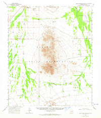
1963 · Santa Rosa Mountains
USGS Topo · 1:62,500