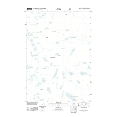
2011 Map of Silver Run Peak
USGS Topo · Published 2011About this map
Silver Run Peak and the high summits of the Beartooth range dominate this 2011 survey, illustrating a landscape defined by dramatic elevation and alpine hydrology. The region is characterized by a dense concentration of high-altitude basins, where features like September Morn Lake and Keyser Brown Lake feed into the Lake Fork and West Fork Rock Creek. The map documents a topography of severe verticality, from the broad plateau of Beartooth Mountain to the sharp profiles of Whitetail Peak and Thunder Mountain. This network of glacial lakes, including the uniquely named Sky Pilot Lake, Moon Lake, and Frosty Lake, demonstrates how drainage patterns are dictated by the massive granite massifs of Mount Rearguard and Sundance Mountain. The absence of roads or settlements underscores the wilderness character of these high-country divides.
Find a feature on this map
55 named features on this map. Tap any name to fly to it.
Don’t see what you’re looking for? This feature index may not catch every label — zoom into the map to look around manually.
Map Details
Editions of this 2011 Silver Run Peak Map
This is the sole edition of this map. No revisions or reprints were ever made.
Other maps of this area

1896 · Crandall Creek
USGS Topo · 1:125,000

1898 · Granite Mountain District
USGS Topo · 1:125,000

1899 · Crandall
USGS Topo · 1:125,000

1950 · Deep Lake
USGS Topo · 1:62,500

1954 · Billings
USGS Topo · 1:250,000

1955 · Cody
USGS Topo · 1:250,000

1956 · Alpine
USGS Topo · 1:62,500

1956 · Mount Maurice
USGS Topo · 1:62,500

1956 · Beartooth Butte
USGS Topo · 1:62,500

1957 · Billings
USGS Topo · 1:250,000