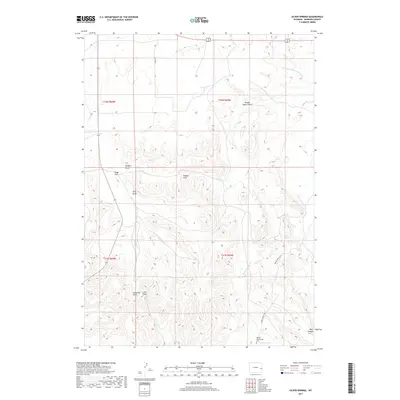
2017 Map of Silver Springs
USGS Topo · Published 2017About this map
Mother Featherlegs Cem sits in the southeastern portion of this landscape, a notable site within the drainage system of Silver Springs Cr. The area is defined by a network of drainage channels and prominent terrain features including the Wanker Hills and several significant draws like Woods Ranch Draw and King Draw. These features suggest a high-plains environment where water management and ranching have historically dictated movement and land use. Local transport is facilitated by rural routes such as Ladwig Rd and Silver Springs Rd, which connect isolated points of interest like the Motorboat Vent. The topography is further etched by Aego Cr and Bear Canyon, reflecting a landscape deeply influenced by seasonal water flow and geological erosion near the Silver Springs area.
Find a feature on this map
20 named features on this map. Tap any name to fly to it.
Don’t see what you’re looking for? This feature index may not catch every label — zoom into the map to look around manually.
Map Details
Editions of this 2017 Silver Springs Map
This is the sole edition of this map. No revisions or reprints were ever made.
Other maps of this area

1954 · Torrington
USGS Topo · 1:250,000

1958 · Torrington
USGS Topo · 1:250,000

1974 · Lone Tree Hill
USGS Topo · 1:24,000

1974 · Silver Springs
USGS Topo · 1:24,000

1974 · Rawhide Buttes East
USGS Topo · 1:24,000
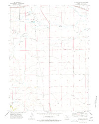
1974 · Reynolds Spring
USGS Topo · 1:24,000
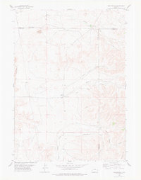
1978 · Meadowdale
USGS Topo · 1:24,000
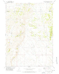
1978 · Rawhide Buttes West
USGS Topo · 1:24,000

1981 · Lusk
USGS Topo · 1:24,000

1981 · Manville
USGS Topo · 1:24,000