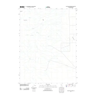
2011 Map of Silver State Draw
USGS Topo · Published 2011About this map
Slumbering Hills and the prominent Squaw Peak dominate this corner of Humboldt County, defining a landscape shaped by intermittent water sources and high-desert passes. This 2011 survey records a network of vital springs essential for ranching and transit through the arid Great Basin, including the cluster of Circle Bar Number 3, Number 2, and Number 1 Springs. These water points, along with Daveytown Spring and Sheepherder Spring, indicate the historical importance of localized hydrology for livestock in this remote area. To the north, Pickhandle Pass provides a natural corridor through the terrain, while the broad Silver State Draw and the course of Sand Pass Rd trace the path of modern transit across the basin floor.
Find a feature on this map
12 named features on this map. Tap any name to fly to it.
Don’t see what you’re looking for? This feature index may not catch every label — zoom into the map to look around manually.
Map Details
Editions of this 2011 Silver State Draw Map
This is the sole edition of this map. No revisions or reprints were ever made.
Other maps of this area

1882 · Paradise
USGS Topo · 1:250,000

1886 · Disaster
USGS Topo · 1:250,000

1893 · Paradise
USGS Topo · 1:250,000

1893 · Disaster
USGS Topo · 1:250,000

1954 · Vya
USGS Topo · 1:250,000

1955 · McDermitt
USGS Topo · 1:250,000

1958 · Vya
USGS Topo · 1:250,000

1958 · Awakening Peak
USGS Topo · 1:62,500

1959 · McDermitt
USGS Topo · 1:250,000

1962 · Vya
USGS Topo · 1:250,000