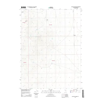
2015 Map of Silver State Draw
USGS Topo · Published 2015About this map
The Slumbering Hills dominate this high-desert landscape in Humboldt County, where water is the defining geographic marker. In this arid reach of Nevada, a series of named water sources like Daveytown Spring and the Sheepherder Spring indicate the essential points of interest for livestock and early travelers. The presence of Circle Bar Number 1 Spring, Circle Bar Number 2 Spring, and Circle Bar Number 3 Spring suggests established ranching activity or localized watering rights centered around the hills.
Find a feature on this map
17 named features on this map. Tap any name to fly to it.
Don’t see what you’re looking for? This feature index may not catch every label — zoom into the map to look around manually.
Map Details
Editions of this 2015 Silver State Draw Map
This is the sole edition of this map. No revisions or reprints were ever made.
Other maps of this area

1882 · Paradise
USGS Topo · 1:250,000

1886 · Disaster
USGS Topo · 1:250,000

1893 · Paradise
USGS Topo · 1:250,000

1893 · Disaster
USGS Topo · 1:250,000

1954 · Vya
USGS Topo · 1:250,000

1955 · McDermitt
USGS Topo · 1:250,000

1958 · Vya
USGS Topo · 1:250,000

1958 · Awakening Peak
USGS Topo · 1:62,500

1959 · McDermitt
USGS Topo · 1:250,000

1962 · Vya
USGS Topo · 1:250,000