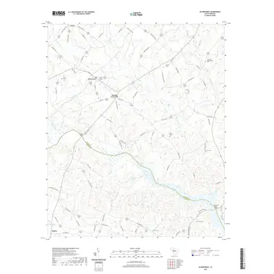
2020 Map of Silverstreet
USGS Topo · Published 2020About this map
The Saluda River defines the southern portion of this landscape, marking the boundary between Newberry and Saluda counties. This region of South Carolina is characterized by its network of rural crossroads and established family settlements, anchored by the town of Silverstreet. To the east, Deadfall Crossroads serves as a junction for several historic local routes, including Deadfall Rd and Elisha Church Rd. The map is particularly notable for genealogists, as it preserves the locations of several community burial grounds such as Bush River Meetinghouse Cem, New Chapel Cem, and Shady Grove Cem. Along the water courses like Beaverdam Cr and the Bush River, the land reveals a pattern of agricultural development and small ponds, including W Colemans Pond, which reflects the long-standing land-use traditions of this Piedmont area.
Find a feature on this map
76 named features on this map. Tap any name to fly to it.
Don’t see what you’re looking for? This feature index may not catch every label — zoom into the map to look around manually.
Map Details
Editions of this 2020 Silverstreet Map
This is the sole edition of this map. No revisions or reprints were ever made.
Other maps of this area

1941 · Spartanburg
USGS Topo · 1:250,000

1953 · Spartanburg
USGS Topo · 1:250,000

1960 · Spartanburg
USGS Topo · 1:250,000

1963 · Spartanburg
USGS Topo · 1:250,000

1964 · Spartanburg
USGS Topo · 1:250,000

1968 · Newberry East
USGS Topo · 1:24,000

1969 · Newberry West
USGS Topo · 1:24,000
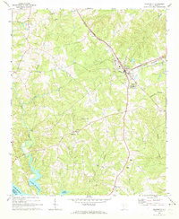
1970 · Prosperity
USGS Topo · 1:24,000
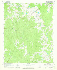
1970 · Bush River
USGS Topo · 1:24,000
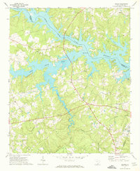
1970 · Delmar
USGS Topo · 1:24,000