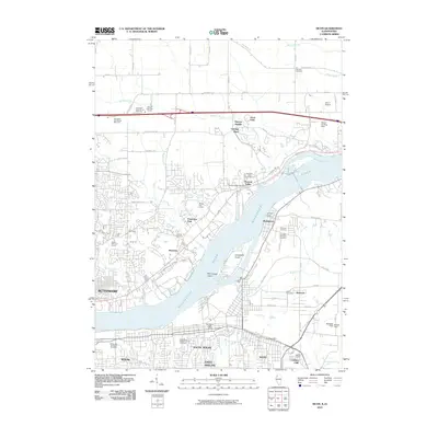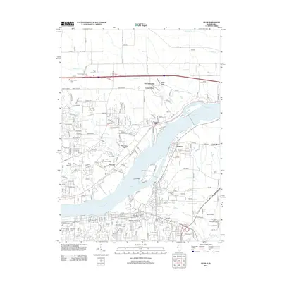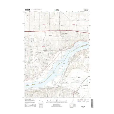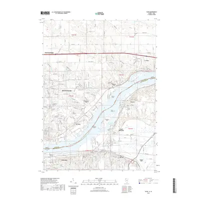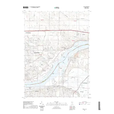
2024 Map of Silvis
USGS Topo · Published 2024About this map
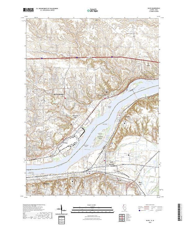
The Mississippi River dominates this Quad Cities landscape, threading between a complex system of islands including Campbells Island and Winnebago Island. Along the Illinois shore, the industrial and residential corridors of Silvis, East Moline, and Moline sit opposite the Iowa side's expanding suburban and agricultural zones in Bettendorf and Pleasant Valley. This modern survey illustrates the significant preservation of the river corridor within the Upper Mississippi River National Wildlife and Fish Refuge, which buffers the developed centers.
Find a feature on this map
52 named features on this map. Tap any name to fly to it.
Don’t see what you’re looking for? This feature index may not catch every label — zoom into the map to look around manually.
Map Details
Editions of this 2024 Silvis Map
This is the sole edition of this map. No revisions or reprints were ever made.
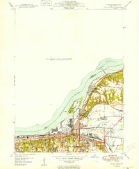
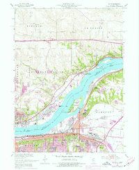
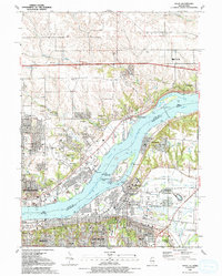
Historical Maps of Davenport Through Time
9 maps found