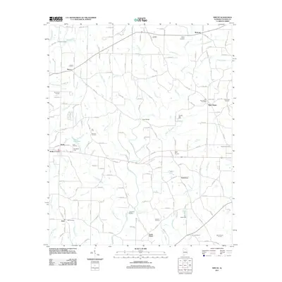
2011 Map of Simcoe
USGS Topo · Published 2011About this map
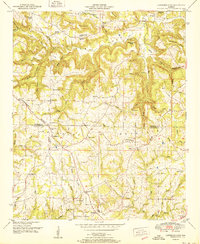
Duck River and its numerous tributaries, such as Copperas Branch and Two Mile Creek, define the topography of this rural Cullman County landscape. Small communities and crossroads settlements including Simcoe, Welti, and Baileytown are connected by a dense network of county roads. The area is notable for its high concentration of family and community burial grounds, from the Brindley Cemetery in the north to the Duck River Cemetery and Union Cemetery further south, providing a detailed record for genealogical study. Infrastructure such as Tanner Bridge and Thornton Bridge provide key crossings over the river, while the New Horizon Airport occupies the southeastern corner. This survey documents the persistent agricultural and residential patterns of north-central Alabama, where small-scale water management is evident at the Tommy Ege Dam and W I Walker Dam.
Find a feature on this map
172 named features on this map. Tap any name to fly to it.
Don’t see what you’re looking for? This feature index may not catch every label — zoom into the map to look around manually.
Map Details
Editions of this 2011 Simcoe Map
This is the sole edition of this map. No revisions or reprints were ever made.
Other maps of this area

1888 · Cullman
USGS Topo · 1:125,000

1892 · Cullman
USGS Topo · 1:125,000

1936 · Hulaco
USGS Topo · 1:24,000

1936 · Eva
USGS Topo · 1:24,000

1936 · Lawrence Cove
USGS Topo · 1:24,000

1936 · Holly Pond
USGS Topo · 1:24,000
1949 · Hulaco
USGS Topo · 1:24,000
1949 · Lawrence Cove
USGS Topo · 1:24,000
1949 · Eva
USGS Topo · 1:24,000
1951 · Lawrence Cove
USGS Topo · 1:24,000