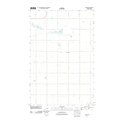
2011 Map of Simcoe
USGS Topo · Published 2011About this map
Simcoe anchors the southwest corner of this McHenry County landscape, appearing as a quiet crossroads settlement defined by a precise grid of rural routes. The surrounding terrain is a typical North Dakota prairie, punctuated by numerous small water bodies including Oslie Lake, Carvers Lake, and Nead Lake. This 2011 survey reveals a geography shaped by the Public Land Survey System, with roads like 13th Ave N and 51st St N creating a rhythmic pattern across the plains.
Find a feature on this map
21 named features on this map. Tap any name to fly to it.
Don’t see what you’re looking for? This feature index may not catch every label — zoom into the map to look around manually.
Map Details
Editions of this 2011 Simcoe Map
This is the sole edition of this map. No revisions or reprints were ever made.
Other maps of this area

1948 · Voltaire
USGS Topo · 1:24,000

1948 · Velva
USGS Topo · 1:62,500

1949 · Norwich
USGS Topo · 1:24,000

1949 · Simcoe
USGS Topo · 1:24,000

1949 · Velva
USGS Topo · 1:24,000

1949 · Voltaire
USGS Topo · 1:24,000

1949 · Riga
USGS Topo · 1:24,000

1949 · Granville SW
USGS Topo · 1:24,000

1949 · Karlsruhe NW
USGS Topo · 1:24,000

1949 · Granville
USGS Topo · 1:24,000