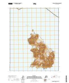
2020 Map of Simeonof Island D-2 SW
USGS Topo · Published 2020About this map
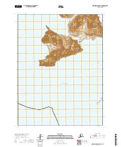
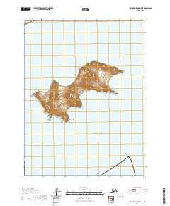
Chernabura Island dominates this maritime survey, a part of the greater Shumagin Islands archipelago in the Pacific Ocean. This high-relief island landscape is marked by steep contours and dramatic coastline features like Point Farewell at its southern tip. The surrounding waters, including Otter Strait, reflect the isolation and scale of the Aleutians East region, where the terrain remains largely defined by its natural topography rather than human infrastructure or settlement. The map provides a detailed topographic study of the island's interior peaks and coastal indentations, illustrating the physical geography of this Alaskan island group during the early twenty-first century.
Find a feature on this map
8 named features on this map. Tap any name to fly to it.
Don’t see what you’re looking for? This feature index may not catch every label — zoom into the map to look around manually.
Map Details
Editions of this 2020 Simeonof Island D-2 SW Map
This is the sole edition of this map. No revisions or reprints were ever made.