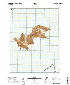
2020 Map of Simeonof Island D-3 SE
USGS Topo · Published 2020About this map
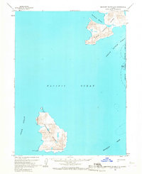
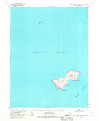
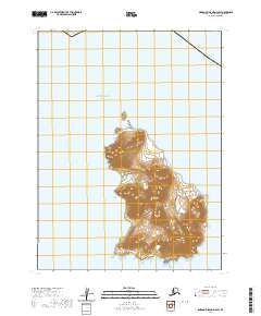
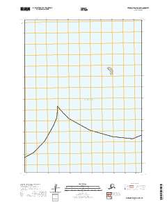
Bird Island, a prominent landmass within the Shumagin Islands, rises from the Pacific Ocean in this 2020 topographic study. The island's dramatic topography is defined by steep elevation gains and a rugged coastline, terminating at the southward-reaching Point Welcome. To the east, the waters of Otter Strait separate this cluster from neighboring island masses. This modern survey, conducted by the U.S. Geological Survey, provides an exact rendering of the natural landforms and coastal boundaries in the Aleutians East Borough. The map detail highlights the isolation of these volcanic landforms, where the absence of roads or human structures emphasizes the wilderness character of the Shumagin chain in the early twenty-first century.
Find a feature on this map
7 named features on this map. Tap any name to fly to it.
Don’t see what you’re looking for? This feature index may not catch every label — zoom into the map to look around manually.
Map Details
Editions of this 2020 Simeonof Island D-3 SE Map
This is the sole edition of this map. No revisions or reprints were ever made.