2020 Map of Simeonof Island D-4 SW
USGS Topo · Published 2020About this map
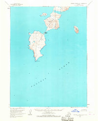
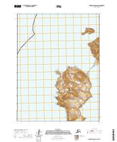
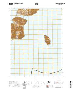
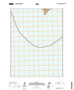
The vast expanse of the Pacific Ocean dominates this maritime survey, illustrating the isolated coastal landscape of the Aleutians East Borough. The terrain is largely maritime, with the only landmass occurring in the northern section where Mountain Point extends into the sea. This coastal feature provides the sole terrestrial reference point in an area defined by its oceanic position and the surveying grid of t61s r73w and t61s r72w. Because this map focuses primarily on open water, it serves as a critical document for understanding the coastal boundaries and shoreline positioning as documented by the U.S. Geological Survey in the early twenty-first century.
Find a feature on this map
4 named features on this map. Tap any name to fly to it.
Don’t see what you’re looking for? This feature index may not catch every label — zoom into the map to look around manually.
Map Details
Editions of this 2020 Simeonof Island D-4 SW Map
This is the sole edition of this map. No revisions or reprints were ever made.