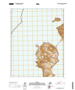
2020 Map of Simeonof Island D-4 NW
USGS Topo · Published 2020About this map
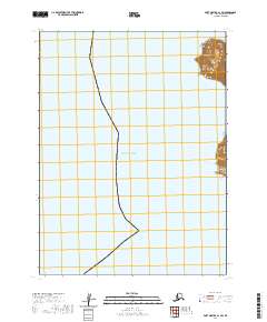
The vast expanse of the Pacific Ocean dominates this portion of the Aleutians East Borough, where isolated landmasses rise abruptly from the sea. Highlighting the coastal geography is the offshore feature of John Island, positioned north of the primary landform on this sheet. To the southeast, the uniquely named Saddlers Mistake marks a significant coastal point or hazard along the island's eastern shoreline. This 2020 edition provides precise topographic data for this remote maritime environment, detailing the steep elevations and intricate coastline that characterize this part of the Shumagin Islands group. The map serves as a primary record of the physical landforms within the township grids of t60s r72w, t61s r73w, and t61s r72w.
Find a feature on this map
6 named features on this map. Tap any name to fly to it.
Don’t see what you’re looking for? This feature index may not catch every label — zoom into the map to look around manually.
Map Details
Editions of this 2020 Simeonof Island D-4 NW Map
This is the sole edition of this map. No revisions or reprints were ever made.
Other maps of this area

1953 · Port Moller
USGS Topo · 1:250,000

1963 · Port Moller A-1
USGS Topo · 1:63,360

1963 · Port Moller A-2
USGS Topo · 1:63,360
1963 · Simeonof Island D-4
USGS Topo · 1:63,360

1963 · Simeonof Island
USGS Topo · 1:250,000

1967 · Simeonof Island
USGS Topo · 1:250,000

1988 · Port Moller
USGS Topo · 1:250,000
2020 · Simeonof Island D-4 SW
USGS Topo · 1:25,000
2020 · Simeonof Island D-4 NE
USGS Topo · 1:25,000
2020 · Port Moller A-1 SW
USGS Topo · 1:25,000