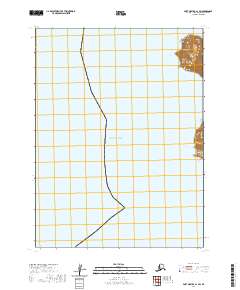
2020 Map of Port Moller A-1 SW
USGS Topo · Published 2020About this map
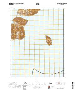
Wooly Head commands the coastline in this 2020 topographic study of the Aleutians East Borough. This specific area is defined by the expanse of the Pacific Ocean, where the land meets the water in a series of dramatic contours. The map documents the vast maritime environment and the few terrestrial landmarks that emerge from the sea. Territorial divisions such as t58s r72w, t59s r72w, and t60s r72w delineate the legal boundaries across both land and water, offering a clear view of the Public Land Survey System as it applies to this remote maritime reach. With very few named landforms, the focus remains on the relationship between the sea and the high coastal elevations.
Find a feature on this map
5 named features on this map. Tap any name to fly to it.
Don’t see what you’re looking for? This feature index may not catch every label — zoom into the map to look around manually.
Map Details
Editions of this 2020 Port Moller A-1 SW Map
This is the sole edition of this map. No revisions or reprints were ever made.
Other maps of this area

1953 · Port Moller
USGS Topo · 1:250,000

1963 · Port Moller A-1
USGS Topo · 1:63,360

1963 · Port Moller A-2
USGS Topo · 1:63,360
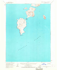
1963 · Simeonof Island D-4
USGS Topo · 1:63,360

1963 · Simeonof Island
USGS Topo · 1:250,000

1967 · Simeonof Island
USGS Topo · 1:250,000

1988 · Port Moller
USGS Topo · 1:250,000
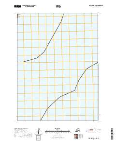
2020 · Port Moller A-1 NW
USGS Topo · 1:25,000
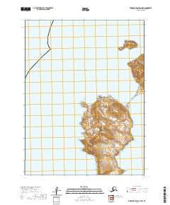
2020 · Simeonof Island D-4 NW
USGS Topo · 1:25,000
2020 · Simeonof Island D-4 NE
USGS Topo · 1:25,000