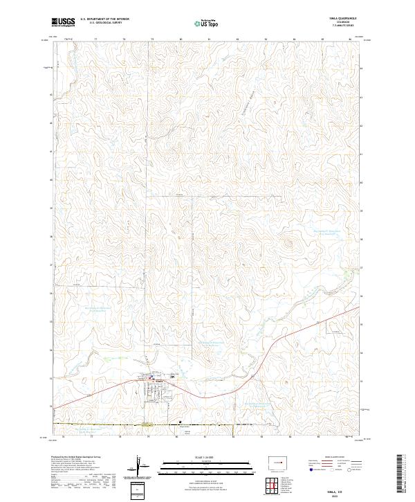
2022 Map of Simla
USGS Topo · Published 2022About this map
The town of Simla sits as a central hub on the High Plains of eastern Colorado, where the grid of the street plan meets the winding course of Big Sandy Creek. This modern survey documents the interface between the established townsite and the surrounding agricultural landscape of Elbert and El Paso counties. The town is organized around a thematic street naming system, including Cheyenne Ave, Navajo Ave, and Sioux Ave, reflecting regional history and indigenous heritage.
Find a feature on this map
42 named features on this map. Tap any name to fly to it.
Don’t see what you’re looking for? This feature index may not catch every label — zoom into the map to look around manually.
Map Details
Editions of this 2022 Simla Map
This is the sole edition of this map. No revisions or reprints were ever made.
Other maps of this area

1891 · Limon
USGS Topo · 1:125,000

1892 · Limon
USGS Topo · 1:125,000

1953 · Denver
USGS Topo · 1:250,000

1954 · Limon
USGS Topo · 1:250,000

1957 · Denver
USGS Topo · 1:250,000

1957 · Limon
USGS Topo · 1:250,000

1958 · Limon
USGS Topo · 1:250,000

1958 · Denver
USGS Topo · 1:250,000

1960 · Denver
USGS Topo · 1:250,000
1970 · Matheson SW
USGS Topo · 1:24,000