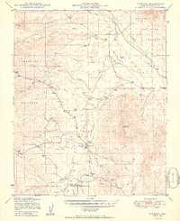
1950 Map of Simmons
USGS Topo · Published 1950About this map
Simmons and the surrounding high desert of the Prescott National Forest are defined by a network of large cattle operations and seasonal watercourses during the late 1940s. The mapping reveals a sparse but vital landscape where livelihoods depended on landmarks like Antelope Dam and numerous scattered Windmills. Large ranching properties such as Seven V Ranch, Las Vegas Ranch, and Wineglass Ranch anchor the region, connected by a simple road network and a prominent Telephone Line that cuts across the northern territory. The drainage patterns of Big Chino Wash and Williamson Valley Wash dictate the topography, leading toward the distinct formations of the Sullivan Buttes and the cultural interest of Inscription Canyon. This survey captures the rural character of Yavapai County when the ranching economy was the primary driver of settlement in these expansive valleys.
Find a feature on this map
34 named features on this map. Tap any name to fly to it.
Don’t see what you’re looking for? This feature index may not catch every label — zoom into the map to look around manually.
Map Details
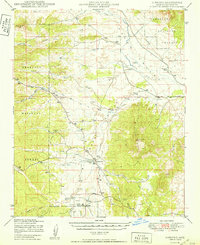
Editions of this 1950 Simmons Map
2 editions found
Other maps of this area

1886 · Chino
USGS Topo · 1:250,000

1887 · Prescott
USGS Topo · 1:250,000

1891 · Chino
USGS Topo · 1:250,000

1892 · Prescott
USGS Topo · 1:250,000

1905 · Jerome
USGS Topo · 1:125,000

1922 · Williams
USGS Topo · 1:125,000

1947 · Ash Fork
USGS Topo · 1:62,500

1947 · Simmons
USGS Topo · 1:62,500

1947 · Iron Springs
USGS Topo · 1:62,500

1947 · Picacho Butte
USGS Topo · 1:62,500