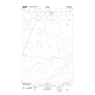
2011 Map of Simms
USGS Topo · Published 2011About this map
Simms serves as the primary hub for this agricultural area of Cascade County, characterized by a sophisticated network of irrigation infrastructure including the Crown Butte Canal and Fort Shaw Canal. The landscape is punctuated by prominent natural landmarks like Crown Butte and Eagle Rock, the latter of which sits near the Eagle Rock Mine. This survey illustrates how water management has shaped the high plains, with the Huterite Colony Dam and Deiphobus Dam providing critical reservoir capacity along the creek systems.
Find a feature on this map
31 named features on this map. Tap any name to fly to it.
Don’t see what you’re looking for? This feature index may not catch every label — zoom into the map to look around manually.
Map Details
Editions of this 2011 Simms Map
This is the sole edition of this map. No revisions or reprints were ever made.
Other maps of this area

1886 · Great Falls
USGS Topo · 1:250,000

1920 · Choteau
USGS Topo · 1:125,000

1943 · Hogan
USGS Topo · 1:125,000

1950 · Fairfield
USGS Topo · 1:62,500

1954 · Great Falls
USGS Topo · 1:250,000

1955 · Choteau
USGS Topo · 1:250,000

1957 · Choteau
USGS Topo · 1:250,000

1957 · Great Falls
USGS Topo · 1:250,000

1958 · Choteau
USGS Topo · 1:250,000

1960 · Simms
USGS Topo · 1:62,500