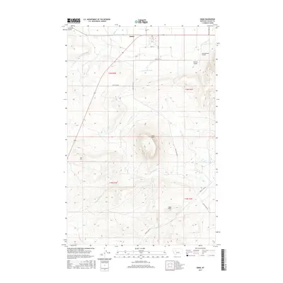
2017 Map of Simms
USGS Topo · Published 2017About this map
Simms anchors the northern edge of this landscape, where the high plains transition into the dramatic relief of the Sun River Valley. The topography is defined by significant landmarks such as Crown Butte and Eagle Rock, which rise sharply above the surrounding drainage networks. The area's agricultural development is clearly visible through the engineering of the Crown Butte Canal and Fort Shaw Canal, which divert water across a terrain otherwise dominated by seasonal watercourses like Little Muddy Cr and Birdtail Cr.
Find a feature on this map
24 named features on this map. Tap any name to fly to it.
Don’t see what you’re looking for? This feature index may not catch every label — zoom into the map to look around manually.
Map Details
Editions of this 2017 Simms Map
This is the sole edition of this map. No revisions or reprints were ever made.
Other maps of this area

1886 · Great Falls
USGS Topo · 1:250,000

1920 · Choteau
USGS Topo · 1:125,000

1943 · Hogan
USGS Topo · 1:125,000

1950 · Fairfield
USGS Topo · 1:62,500

1954 · Great Falls
USGS Topo · 1:250,000

1955 · Choteau
USGS Topo · 1:250,000

1957 · Choteau
USGS Topo · 1:250,000

1957 · Great Falls
USGS Topo · 1:250,000

1958 · Choteau
USGS Topo · 1:250,000

1960 · Simms
USGS Topo · 1:62,500