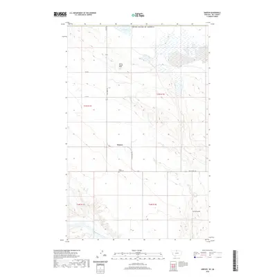
2020 Map of Simpson
USGS Topo · Published 2020About this map
Simpson lies at the heart of this Hill County landscape, where the high plains meet the international boundary with the United States of America. The terrain is defined by the sharp descent from Spring Coulee Ridge into the winding drainage of Spring Coulee, which carves a path toward the southern edge of the map. This area represents a quiet segment of the Montana frontier, marked by isolated points of community interest such as the Spring Coulee Cem along Wild Horse Rd. In the south, the Milk River meanders through the valley, providing a vital water source for the region. To the north, the ephemeral Grassy Lake sits near the border, reflecting the character of a landscape that shifts between prairie highlands and carved coulees.
Find a feature on this map
15 named features on this map. Tap any name to fly to it.
Don’t see what you’re looking for? This feature index may not catch every label — zoom into the map to look around manually.
Map Details
Editions of this 2020 Simpson Map
This is the sole edition of this map. No revisions or reprints were ever made.
Other maps of this area

1920 · Gildford
USGS Topo · 1:125,000

1943 · Gildford
USGS Topo · 1:125,000

1954 · Shelby
USGS Topo · 1:250,000

1958 · Shelby
USGS Topo · 1:250,000
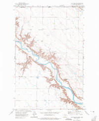
1972 · Lost River NE
USGS Topo · 1:24,000
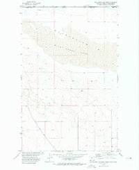
1972 · Wild Horse Lake West
USGS Topo · 1:24,000
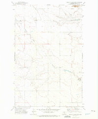
1972 · Ninemile Coulee West
USGS Topo · 1:24,000
1972 · Ninemile Coulee East
USGS Topo · 1:24,000
1972 · St. Johns
USGS Topo · 1:24,000
1984 · Chester
USGS Topo · 1:100,000