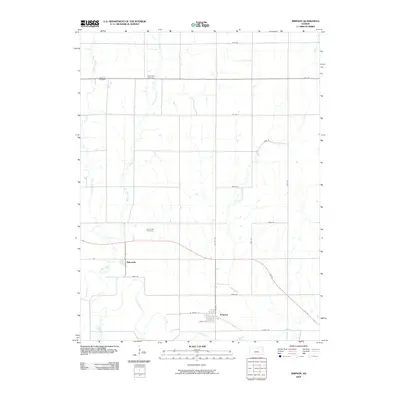
2009 Map of Simpson
USGS Topo · Published 2009About this map
Asherville and Simpson anchor this Mitchell County landscape, where the meandering Solomon River defines the southern boundary. The region is characterized by a dense network of tributaries, including West Asher Creek, East Asher Creek, and Fourth Creek, which carve through the agricultural grid. For those tracing family histories, the map identifies three distinct burial grounds: McBride Cemetery in the northwest, West Asher Cemetery near the northern border, and Asherville Cemetery situated just north of its namesake settlement. The local infrastructure is a mix of established routes like Co Rd 757 and more localized paths such as Linda Trl, reflecting a rural community deeply tied to its waterways and homesteads.
Find a feature on this map
30 named features on this map. Tap any name to fly to it.
Don’t see what you’re looking for? This feature index may not catch every label — zoom into the map to look around manually.
Map Details
Editions of this 2009 Simpson Map
This is the sole edition of this map. No revisions or reprints were ever made.
Other maps of this area

1892 · Concordia
USGS Topo · 1:125,000

1892 · Minneapolis
USGS Topo · 1:125,000

1894 · Mankato
USGS Topo · 1:125,000

1894 · Beloit
USGS Topo · 1:125,000

1952 · Glasco SW
USGS Topo · 1:24,000

1952 · Glasco
USGS Topo · 1:24,000

1953 · Glasco NE
USGS Topo · 1:24,000

1953 · Simpson
USGS Topo · 1:24,000

1953 · Beloit
USGS Topo · 1:24,000

1955 · Manhattan
USGS Topo · 1:250,000