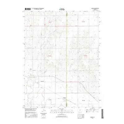
2015 Map of Simpson
USGS Topo · Published 2015About this map
Asherville and Simpson anchor this Mitchell County landscape where the Solomon River winds through the southern reaches. The area is defined by a dense network of watercourses, including W Asher Cr, E Asher Cr, and Lost Cr, which feed the river system and dictate the agricultural layout. The local road grid, with labels like Asherville Rd and Elk Rd, connects these small settlements across the border of Mitchell and Cloud Counties.
Find a feature on this map
52 named features on this map. Tap any name to fly to it.
Don’t see what you’re looking for? This feature index may not catch every label — zoom into the map to look around manually.
Map Details
Editions of this 2015 Simpson Map
This is the sole edition of this map. No revisions or reprints were ever made.
Other maps of this area

1892 · Concordia
USGS Topo · 1:125,000

1892 · Minneapolis
USGS Topo · 1:125,000

1894 · Mankato
USGS Topo · 1:125,000

1894 · Beloit
USGS Topo · 1:125,000

1952 · Glasco SW
USGS Topo · 1:24,000

1952 · Glasco
USGS Topo · 1:24,000

1953 · Glasco NE
USGS Topo · 1:24,000

1953 · Simpson
USGS Topo · 1:24,000

1953 · Beloit
USGS Topo · 1:24,000

1955 · Manhattan
USGS Topo · 1:250,000