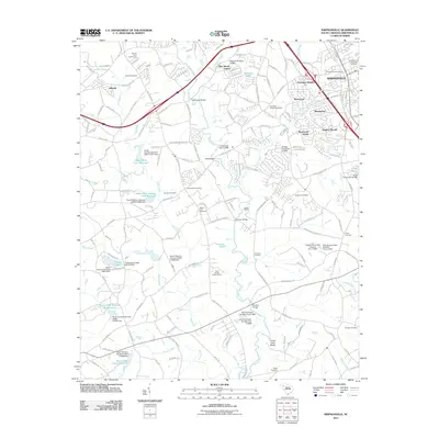
2011 Map of Simpsonville
USGS Topo · Published 2011About this map
The Reedy River and its numerous tributaries, including Huff Creek and Rocky Creek, define the landscape south of Mauldin in this 2011 survey. The city of Simpsonville serves as the primary urban center, surrounded by residential developments like Cherokee Heights, Westwood, and Hunters Woods. This area reflects a dense network of water management, evidenced by a high concentration of small dams and reservoirs such as Goochs Lake, Kelletts Lake, and several unnamed water sheds.
Find a feature on this map
162 named features on this map. Tap any name to fly to it.
Don’t see what you’re looking for? This feature index may not catch every label — zoom into the map to look around manually.
Map Details
Editions of this 2011 Simpsonville Map
This is the sole edition of this map. No revisions or reprints were ever made.
Other maps of this area

1935 · Greer
USGS Topo · 1:48,000

1935 · Greenville
USGS Topo · 1:48,000

1938 · Greenville
USGS Topo · 1:62,500

1938 · Greer
USGS Topo · 1:62,500

1954 · Greenville
USGS Topo · 1:250,000

1957 · Fountain Inn
USGS Topo · 1:62,500

1957 · Greenville
USGS Topo · 1:24,000

1957 · Williamston
USGS Topo · 1:62,500

1957 · Greer
USGS Topo · 1:62,500

1957 · Greenville
USGS Topo · 1:62,500
Featured Places
- Mauldin, SC
- Simpsonville, SC
- Westwood, Simpsonville
- Cherokee Heights, Simpsonville
- Greenville County, SC