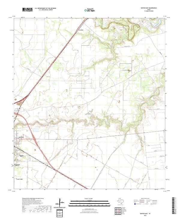
2022 Map of Sinton East
USGS Topo · Published 2022About this map
Sinton serves as the focal point for this survey of San Patricio County, where the transition from residential outskirts to expansive South Texas ranching land is clearly defined. The landscape is dominated by the meandering course of the Aransas River and Chiltipin Cr, which carve through the coastal prairie. Significant tracts of land are dedicated to the Welder Wildlife area, reflecting the region's commitment to conservation amidst an otherwise agricultural and industrial framework.
Find a feature on this map
37 named features on this map. Tap any name to fly to it.
Don’t see what you’re looking for? This feature index may not catch every label — zoom into the map to look around manually.
Map Details
Editions of this 2022 Sinton East Map
This is the sole edition of this map. No revisions or reprints were ever made.
Historical Maps of Third Rancho Chico Addition Colonia Through Time
8 maps found
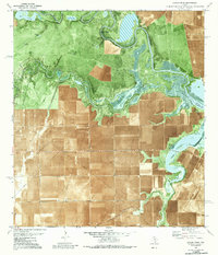
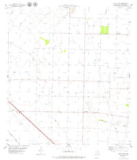
1979 Rincon Bend
San Patricio County, TX
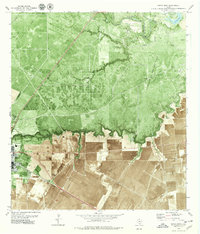
1979 Sinton East
San Patricio County, TX
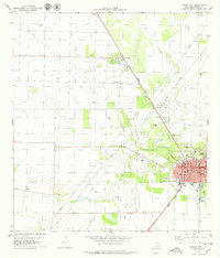
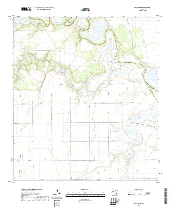
1979 Sinton West
San Patricio County, TX
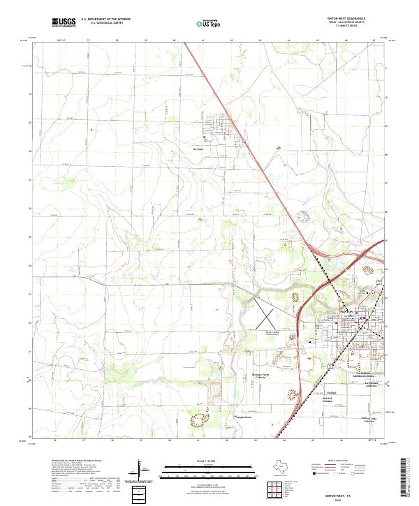
1979 West Sinton
San Patricio County, TX
2022 Rincon Bend
San Patricio County, TX
2022 Sinton East
San Patricio County, TX
2022 Sinton West
San Patricio County, TX
2022 West Sinton
San Patricio County, TX
Featured Locations
- Ewelder, TX
- Third Rancho Chico Addition Colonia, TX
- Rancho Chico Addition Colonia, TX
- O'Farrell Acres Number 1 Colonia, TX
- Sinton, TX