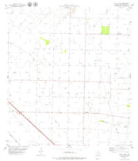
1979 Map of West Sinton
USGS Topo · Published 1979About this map
The agricultural and energy-producing landscape of San Patricio County comes into focus on this 1970s survey. The small settlement of West Sinton and the nearby community of West St Paul anchor a region defined by an extensive grid of section lines and drainage systems. Natural waterways like Aquilla Creek and Chiltipin Creek wind through the coastal plain, while Dale Hollow cuts through the northern portion of the quadrangle.
Find a feature on this map
9 named features on this map. Tap any name to fly to it.
Don’t see what you’re looking for? This feature index may not catch every label — zoom into the map to look around manually.
Map Details
Editions of this 1979 West Sinton Map
This is the sole edition of this map. No revisions or reprints were ever made.
Other maps of this area

1925 · Robstown
USGS Topo · 1:62,500

1927 · Mathis
USGS Topo · 1:62,500

1950 · Corpus Christi
USGS Topo · 1:250,000

1953 · Beeville
USGS Topo · 1:250,000

1954 · Orange Grove
USGS Topo · 1:62,500

1954 · Robstown
USGS Topo · 1:62,500

1954 · Mathis
USGS Topo · 1:62,500

1954 · Sinton
USGS Topo · 1:62,500

1956 · Corpus Christi
USGS Topo · 1:250,000

1956 · Beeville
USGS Topo · 1:250,000