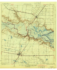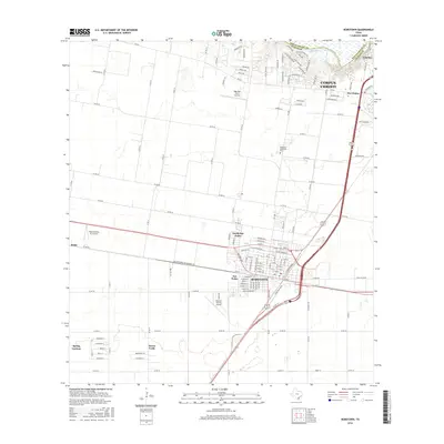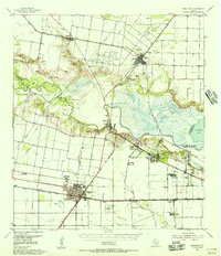
1954 Map of Robstown
USGS Topo · Published 1956About this map
The Nueces River valley in the mid-1950s is defined by a dense network of petroleum extraction and commercial agriculture, centered on the rail hub of Robstown. The landscape is etched with irrigation and drainage infrastructure like the Robstown Ditch, supporting the region's productivity. Major transportation corridors, including the Missouri Pacific and Texas Mexican railroads, converge here, facilitating the movement of oil from the Saxet Oil Field and surrounding wells. Community life is anchored by landmarks such as the Moravian Community Hall, St Anthonys Ch, and the Robstown Labor Camp, reflecting the diverse social fabric of the era. To the north, the town of Odem sits near the Odem Airport, while the coastal transition near Nueces Bay includes heavy industrial sites like the Carbon Black Plant and a Refinery near Viola.
Find a feature on this map
55 named features on this map. Tap any name to fly to it.
Don’t see what you’re looking for? This feature index may not catch every label — zoom into the map to look around manually.
Map Details
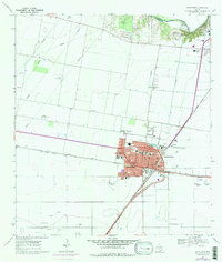
Editions of this 1954 Robstown Map
This is the sole edition of this map. No revisions or reprints were ever made.
Historical Maps of Corpus Christi Through Time
8 maps found