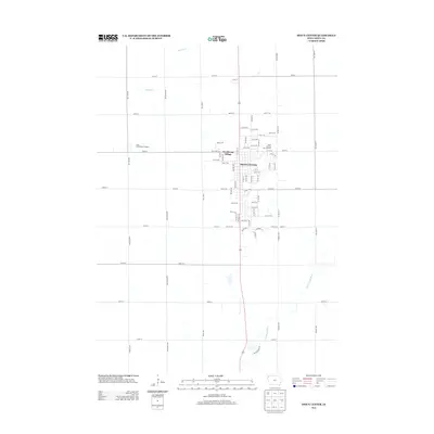
2013 Map of Sioux Center
USGS Topo · Published 2013About this map
Sioux Center sits at the heart of this Sioux County landscape, defined by a rigid grid of agricultural roads and growing residential developments. The town's layout reflects its role as a regional hub, featuring the Sioux County Fair Grounds and the residential expansion of Westbrook Village. Beyond the town limits, the terrain is shaped by the drainage patterns of Sixmile Cr to the north and the W Br Floyd River to the south. The presence of the Coop Confinement Feedlot on the western edge of town highlights the modern agricultural industry that sustains this corner of Iowa. The map captures the intersection of established town life and large-scale farming during the early 2010s.
Find a feature on this map
73 named features on this map. Tap any name to fly to it.
Don’t see what you’re looking for? This feature index may not catch every label — zoom into the map to look around manually.
Map Details
Editions of this 2013 Sioux Center Map
This is the sole edition of this map. No revisions or reprints were ever made.
Other maps of this area

1955 · Sioux City
USGS Topo · 1:250,000

1955 · Sioux Falls
USGS Topo · 1:250,000

1958 · Sioux City
USGS Topo · 1:250,000

1958 · Sioux Falls
USGS Topo · 1:250,000

1959 · Sioux City
USGS Topo · 1:250,000

1962 · Le Mars
USGS Topo · 1:62,500

1964 · Orange City
USGS Topo · 1:24,000

1964 · Boyden
USGS Topo · 1:24,000

1964 · Sioux Center
USGS Topo · 1:24,000

1964 · Hull
USGS Topo · 1:24,000