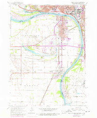
1963 Map of Sioux City South
USGS Topo · Published 1977About this map
The Missouri River and Big Sioux River converge at this tri-state junction, where the 1960s urban footprint of Sioux City, Iowa, meets its neighbors in Nebraska and South Dakota. In South Sioux City, Nebraska, the map documents a dense grid of neighborhood schools including Lewis and Clark Sch, Bryan Sch, and St Michael Sch. Along the river bend, Crystal Lake serves as a prominent recreational feature near North Shore and Millis Beach, while the surrounding terrain is marked by industrial activity at various sandpits and gravel pits.
Find a feature on this map
54 named features on this map. Tap any name to fly to it.
Don’t see what you’re looking for? This feature index may not catch every label — zoom into the map to look around manually.
Map Details
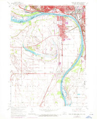
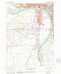
Editions of this 1963 Sioux City South Map
4 editions found
Other maps of this area

1898 · Elk Point
USGS Topo · 1:125,000

1901 · Elk Point
USGS Topo · 1:125,000

1907 · Elk Point
USGS Topo · 1:125,000

1955 · Sioux City
USGS Topo · 1:250,000

1958 · Sioux City
USGS Topo · 1:250,000

1959 · Sioux City
USGS Topo · 1:250,000

1963 · Sioux City South
USGS Topo · 1:24,000

1963 · Sioux City North
USGS Topo · 1:24,000

1963 · Jefferson
USGS Topo · 1:24,000

1964 · Sergeant Bluff
USGS Topo · 1:24,000