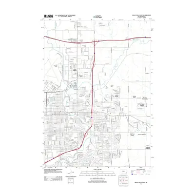
2012 Map of Sioux Falls East
USGS Topo · Published 2012About this map
The Big Sioux River meanders through this landscape, which is defined by the eastward expansion of South Dakota's largest city in the early 21st century. Urban development is captured in detail through numerous named residential enclaves, including the Meadow View Addition, Froelich Addition, and Norton Acres. The map provides a significant record for local historians and genealogists, documenting several major burial grounds such as Woodlawn Cem, Mount Pleasant Cem, and Hills of Rest Cem.
Find a feature on this map
104 named features on this map. Tap any name to fly to it.
Don’t see what you’re looking for? This feature index may not catch every label — zoom into the map to look around manually.
Map Details
Editions of this 2012 Sioux Falls East Map
This is the sole edition of this map. No revisions or reprints were ever made.
Other maps of this area

1897 · Canton
USGS Topo · 1:125,000

1900 · Canton
USGS Topo · 1:125,000

1955 · Sioux Falls
USGS Topo · 1:250,000

1958 · Sioux Falls
USGS Topo · 1:250,000

1962 · Renner
USGS Topo · 1:24,000

1962 · Klondike
USGS Topo · 1:24,000

1962 · Harrisburg
USGS Topo · 1:24,000

1962 · Brandon
USGS Topo · 1:24,000

1962 · Sioux Falls East
USGS Topo · 1:24,000

1962 · Tea
USGS Topo · 1:24,000
Featured Places
- Sioux Falls, SD
- Brandon, SD
- Split Rock Township, SD
- Anderson Subdivision, SD
- Froelich Addition, Sioux Falls