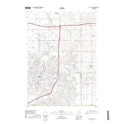
2017 Map of Sioux Falls East
USGS Topo · Published 2017About this map
Sioux Falls and its eastern suburbs are documented here at a point of significant late-20th-century expansion. The landscape is defined by the winding course of the Big Sioux River, which is heavily modified by an extensive water management system including the Diversion Canal, Old Diversion Ditch, and Silver Creek. This infrastructure reveals the engineering required to protect the growing city from the river's floodplain.
Find a feature on this map
156 named features on this map. Tap any name to fly to it.
Don’t see what you’re looking for? This feature index may not catch every label — zoom into the map to look around manually.
Map Details
Editions of this 2017 Sioux Falls East Map
This is the sole edition of this map. No revisions or reprints were ever made.
Other maps of this area

1897 · Canton
USGS Topo · 1:125,000

1900 · Canton
USGS Topo · 1:125,000

1955 · Sioux Falls
USGS Topo · 1:250,000

1958 · Sioux Falls
USGS Topo · 1:250,000

1962 · Renner
USGS Topo · 1:24,000

1962 · Klondike
USGS Topo · 1:24,000

1962 · Harrisburg
USGS Topo · 1:24,000

1962 · Brandon
USGS Topo · 1:24,000

1962 · Sioux Falls East
USGS Topo · 1:24,000

1962 · Tea
USGS Topo · 1:24,000
Featured Places
- Sioux Falls, SD
- Brandon, SD
- Split Rock Township, SD
- Anderson Subdivision, SD
- Froelich Addition, Sioux Falls