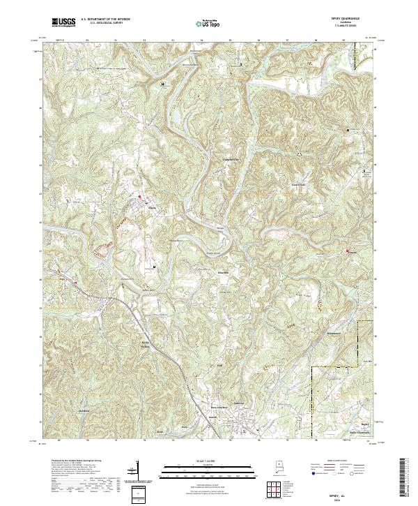
2024 Map of Sipsey
USGS Topo · Published 2024About this map
Sipsey Fork and Mulberry Fork dominate this terrain in northern Alabama, where the river's winding path created landforms like Drummond Bend and Magbee Bend. The area is marked by a legacy of river crossings, evidenced by several historic sites including Drummond Ferry, Phillips Ferry, and Burtons Ferry. These points of transit once connected the small settlements and farming communities that populate the landscape, such as Sipsey, Campbellville, and Empire.
Find a feature on this map
138 named features on this map. Tap any name to fly to it.
Don’t see what you’re looking for? This feature index may not catch every label — zoom into the map to look around manually.
Map Details
Editions of this 2024 Sipsey Map
This is the sole edition of this map. No revisions or reprints were ever made.
Other maps of this area

1889 · Birmingham
USGS Topo · 1:125,000

1892 · Birmingham
USGS Topo · 1:125,000

1893 · Jasper
USGS Topo · 1:125,000

1895 · Birmingham
USGS Topo · 1:125,000

1904 · Birmingham Coal District
USGS Topo · 1:62,500

1906 · Birmingham Special
USGS Topo · 1:62,500

1907 · Birmingham
USGS Topo · 1:125,000

1935 · Port Birmingham
USGS Topo · 1:48,000

1938 · Port Birmingham
USGS Topo · 1:62,500

1949 · Cordova
USGS Topo · 1:24,000