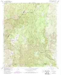
1954 Map of Sitton Peak
USGS Topo · Published 1988About this map
Santa Ana Mountains terrain dominates this 1954 survey, which highlights the transition between the Orange Co and Riverside Co San Diego Co borders. The landscape is defined by its series of high-altitude mountain meadows or potreros, including Round Potrero, Verdugo Potrero, and Potrero de la Cienega. These open spaces are carved out by a complex network of drainages such as San Mateo Creek and Lion Canyon, providing a look at the backcountry before modern development intensified.
Find a feature on this map
59 named features on this map. Tap any name to fly to it.
Don’t see what you’re looking for? This feature index may not catch every label — zoom into the map to look around manually.
Map Details
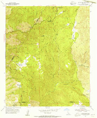
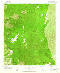
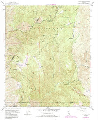
Editions of this 1954 Sitton Peak Map
4 editions found
Other maps of this area

1901 · Southern California Sheet No. 1
USGS Topo · 1:250,000

1901 · Elsinore
USGS Topo · 1:125,000

1901 · San Luis Rey
USGS Topo · 1:125,000

1902 · Capistrano
USGS Topo · 1:125,000

1902 · Corona
USGS Topo · 1:125,000

1904 · Southern California Sheet No. 2
USGS Topo · 1:250,000

1904 · Southern California Sheet No. 1
USGS Topo · 1:250,000

1906 · Capistrano
USGS Topo · 1:125,000

1941 · Margarita Peak
USGS Topo · 1:62,500

1942 · Lake Elsinore
USGS Topo · 1:62,500
Featured Places
- Marine Corps Base Camp Pendleton, CA
- San Diego County, CA
- Orange County, CA
- Riverside County, CA
- United States