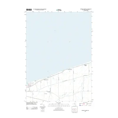
2013 Map of Sixmile Creek
USGS Topo · Published 2013About this map
The Niagara County shoreline along Lake Ontario defines this landscape, where the waters of Sixmile Cr and Twelvemile Cr meet the lake. In the early 21st century, this area remains a mix of rural residential corridors and lakeside communities. Small settlements like Harrison Grove, Uneeda Beach, and Hopkins Beach dot the northern edge of the map, while Tryonville sits further inland near the headwaters of Sixmile Creek. The local infrastructure is shaped by a grid of named rural roads, including Youngstown Wilson Rd and Porter Center Rd, which connect the scattered farms and homes. Historical markers for genealogists include Oakland Cem and Halsted Cem, while the inclusion of Shear Airport reflects the continued use of small-scale local aviation facilities in this coastal region.
Find a feature on this map
23 named features on this map. Tap any name to fly to it.
Don’t see what you’re looking for? This feature index may not catch every label — zoom into the map to look around manually.
Map Details
Editions of this 2013 Sixmile Creek Map
This is the sole edition of this map. No revisions or reprints were ever made.
Other maps of this area

1894 · Niagara Falls
USGS Topo · 1:62,500

1894 · Wilson
USGS Topo · 1:62,500

1896 · Niagara Falls
USGS Topo · 1:62,500

1897 · Tonawanda
USGS Topo · 1:62,500

1899 · Niagara
USGS Topo · 1:125,000

1900 · Wilson
USGS Topo · 1:62,500

1900 · Tonawanda
USGS Topo · 1:62,500

1900 · Niagara Falls
USGS Topo · 1:62,500

1901 · Niagara Falls
USGS Topo · 1:62,500

1901 · Tonawanda
USGS Topo · 1:62,500