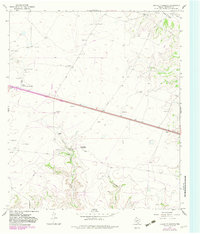
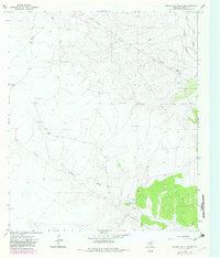
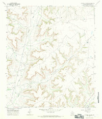
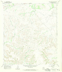
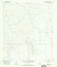
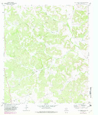
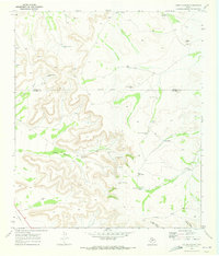
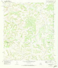
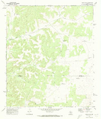
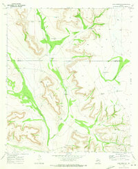
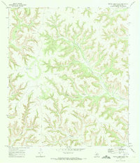
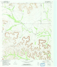
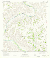
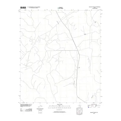
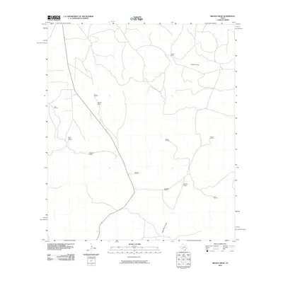
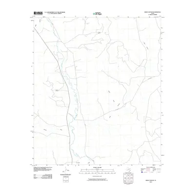
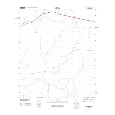
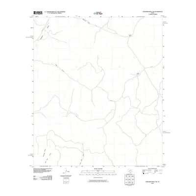
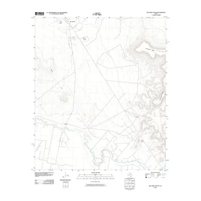
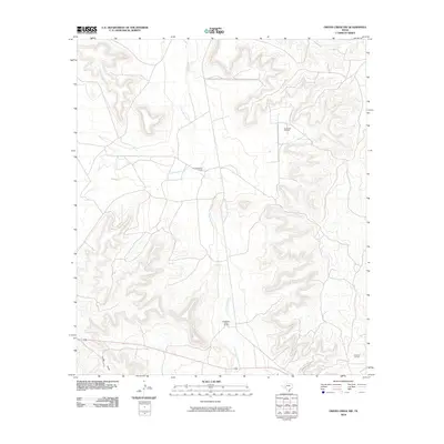
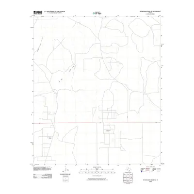
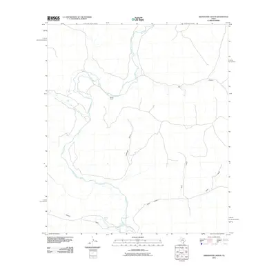
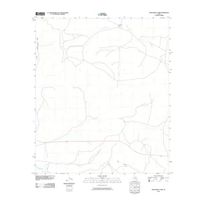
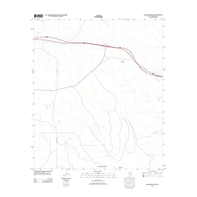
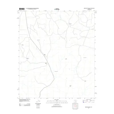
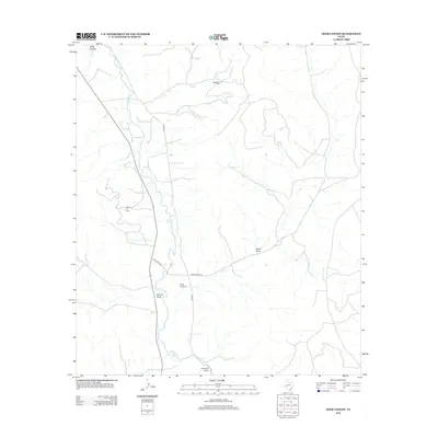
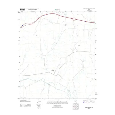
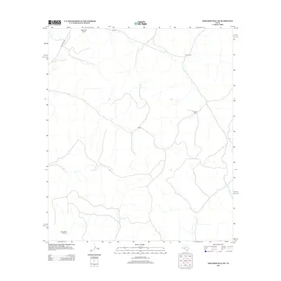
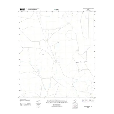
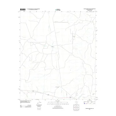
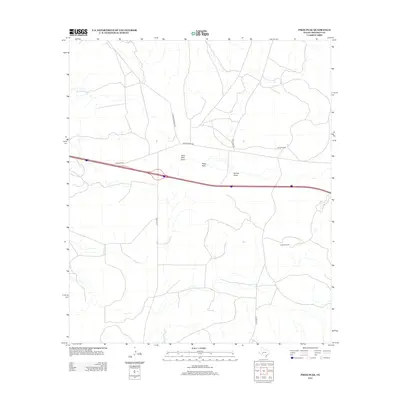
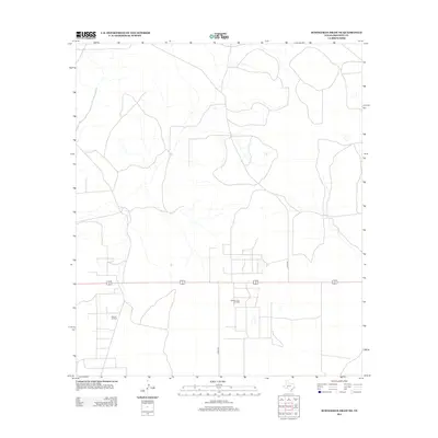
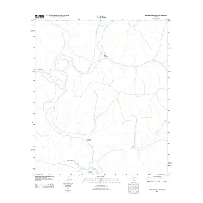
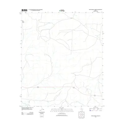
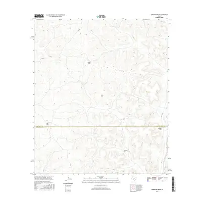
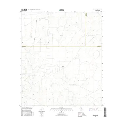
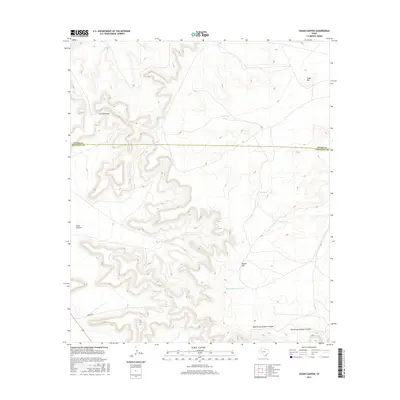
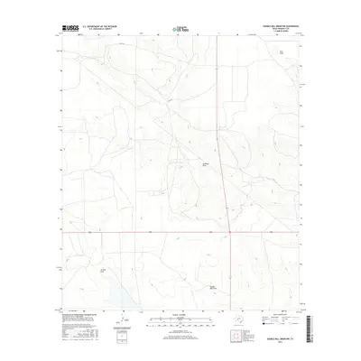
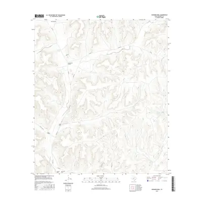
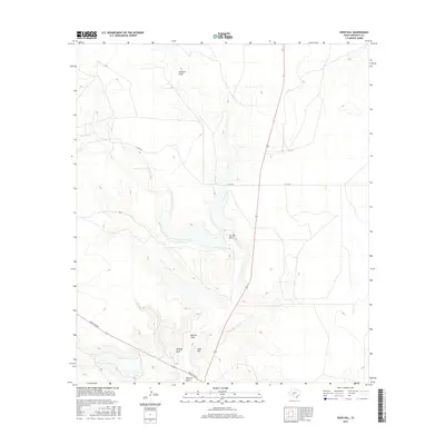
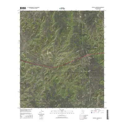
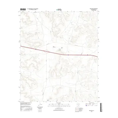
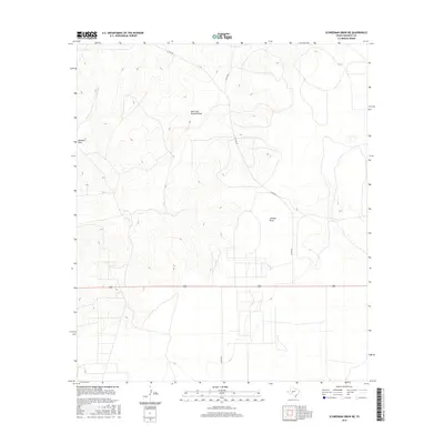
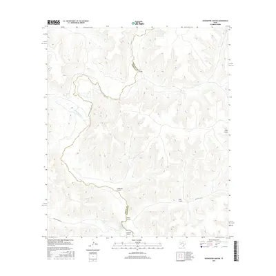
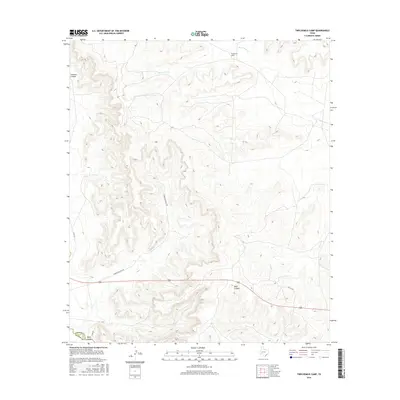
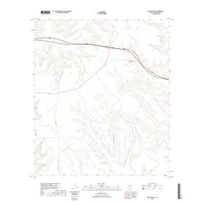
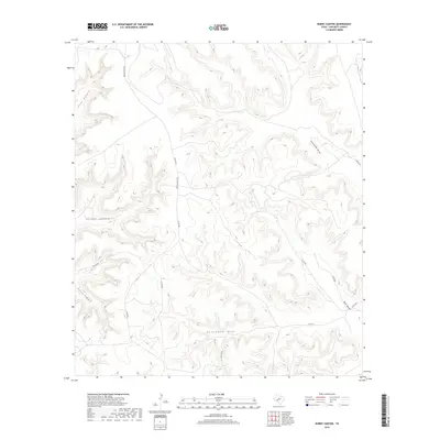
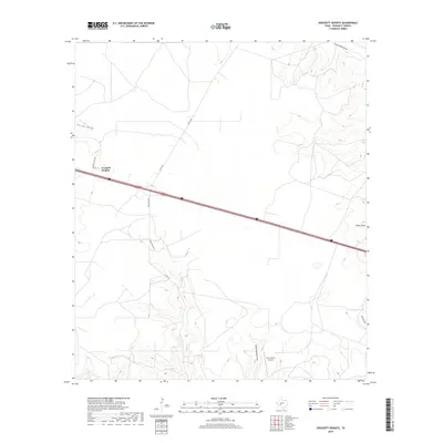
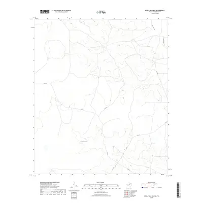
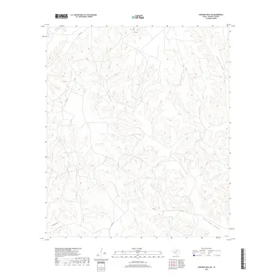
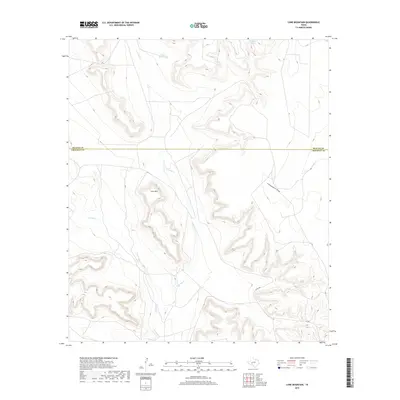
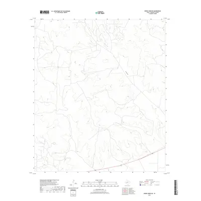
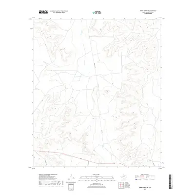
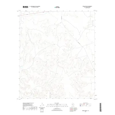
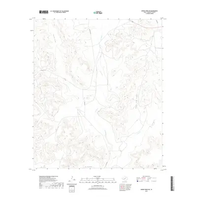
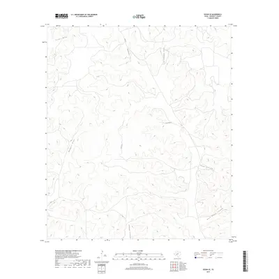
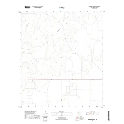
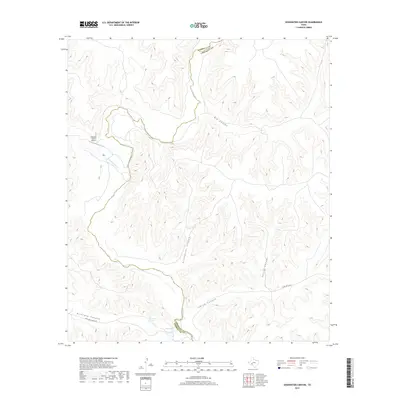
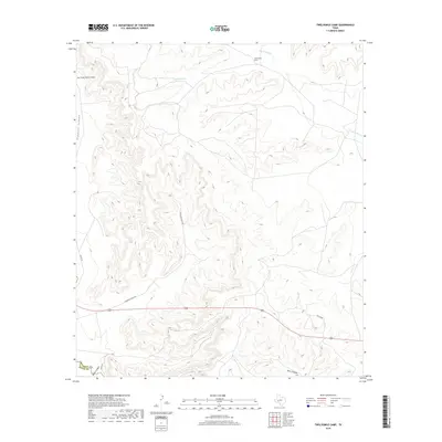
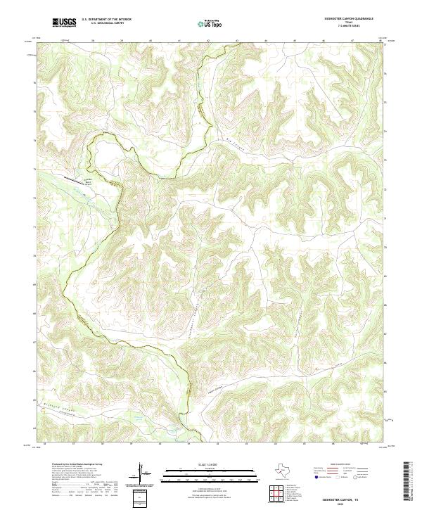
1973 Map of Sixshooter Canyon
USGS Topo · Published 1976About this map
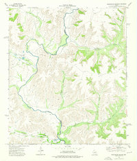
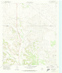
The Pecos River serves as a winding natural boundary through this West Texas landscape, marking the divide between Terrell Co and Crockett Co. The terrain is defined by deep, dendritic drainages including Sixshooter Canyon, Big Canyon, and Indian Canyon. Settlement is sparse, represented by the Dunlap Ranch located near the riverbank. This 1973 field-checked survey highlights the essential role of water in the arid region, noting several vital sources like Wolf Spring, Richland Spring, and Fords where the river could be crossed. Infrastructure is minimal but specialized, featuring a Landing Strip and a Golf Course near Independence Creek, while a Pipeline cuts across Richland Canyon in the southern portion of the quadrangle.
Find a feature on this map
19 named features on this map. Tap any name to fly to it.
Don’t see what you’re looking for? This feature index may not catch every label — zoom into the map to look around manually.
Map Details
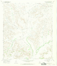
Editions of this 1973 Sixshooter Canyon Map
This is the sole edition of this map. No revisions or reprints were ever made.
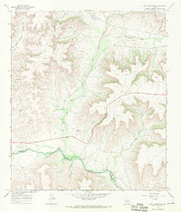
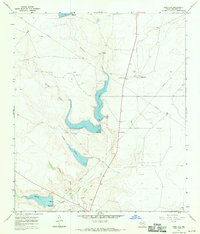
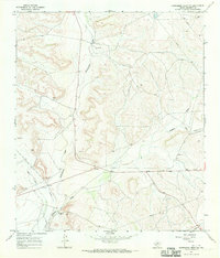
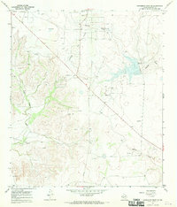
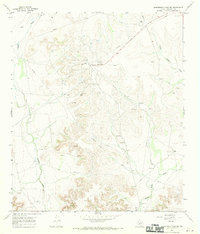
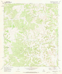
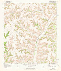
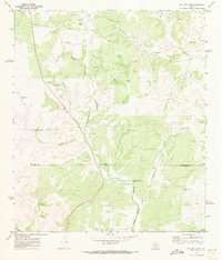
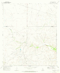
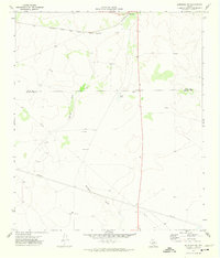
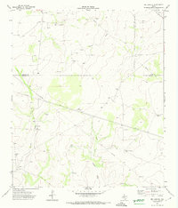
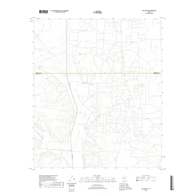
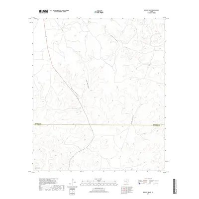
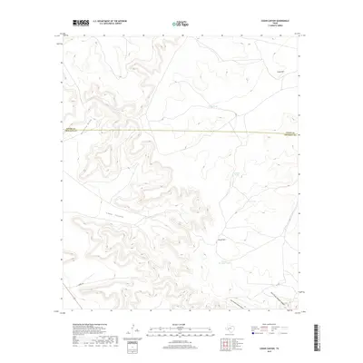
Historical Maps of Crockett County Through Time
276 maps found
1967 Bachelor Hill
Crockett County, TX
1967 Baggett Ranch
Crockett County, TX
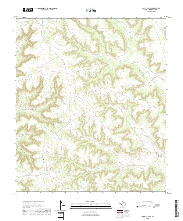
1967 Burnt Canyon
Crockett County, TX
1967 Crockett Heights
Crockett County, TX
1967 Deer Canyon
Crockett County, TX
1967 Double Mill Draw NE
Crockett County, TX
1967 Double Mill Draw NW
Crockett County, TX
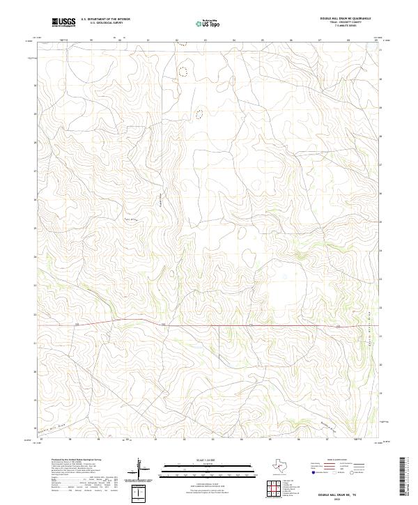
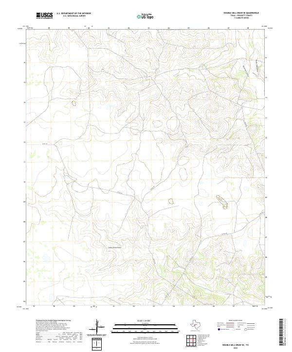
1967 Double Mill Draw SE
Crockett County, TX
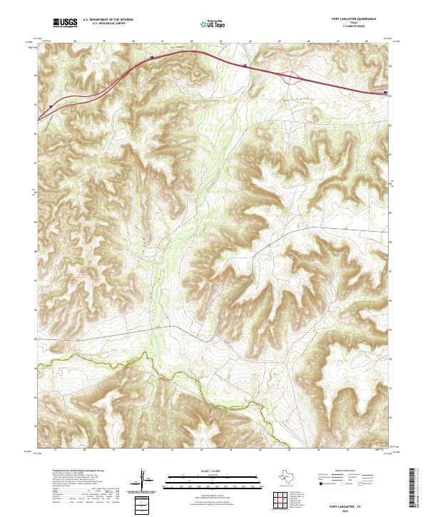
1967 Fort Lancaster
Crockett County, TX
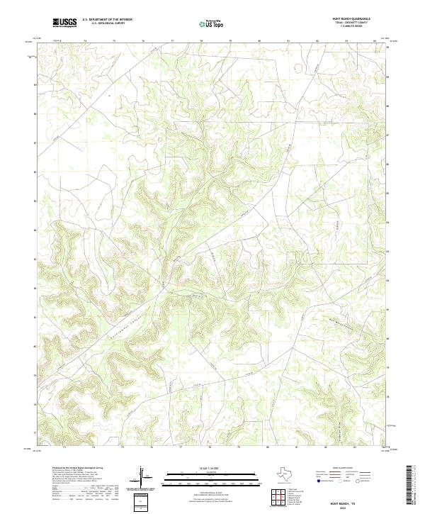
1967 Hunt Ranch
Crockett County, TX
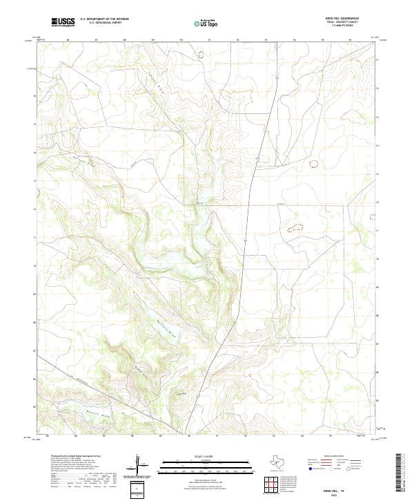
1967 Indio Hill
Crockett County, TX
1967 Mitchell Canyon
Crockett County, TX
1967 Mitchell Canyon NE
Crockett County, TX
1967 Owens Creek NE
Crockett County, TX
1967 Owens Creek NW
Crockett County, TX
1967 Owens Creek SE
Crockett County, TX
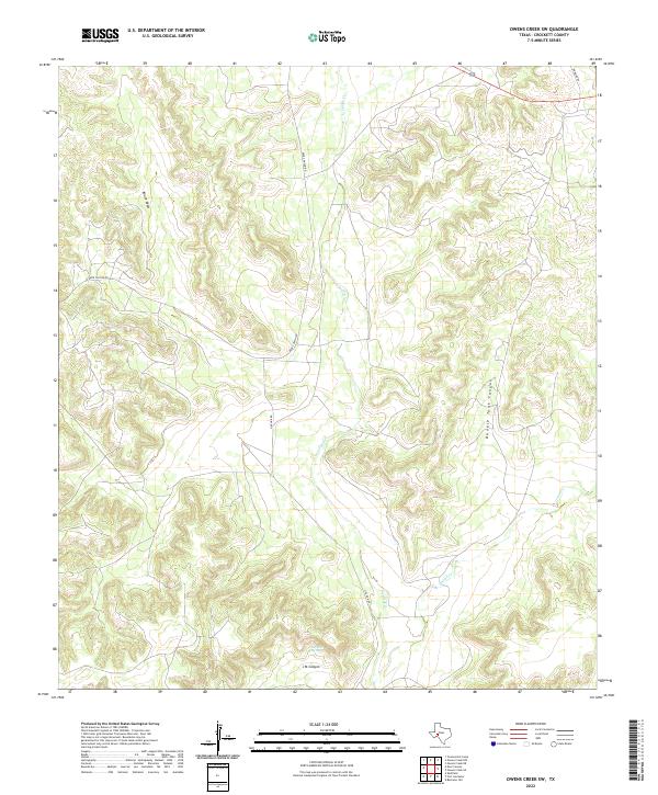
1967 Owens Creek SW
Crockett County, TX
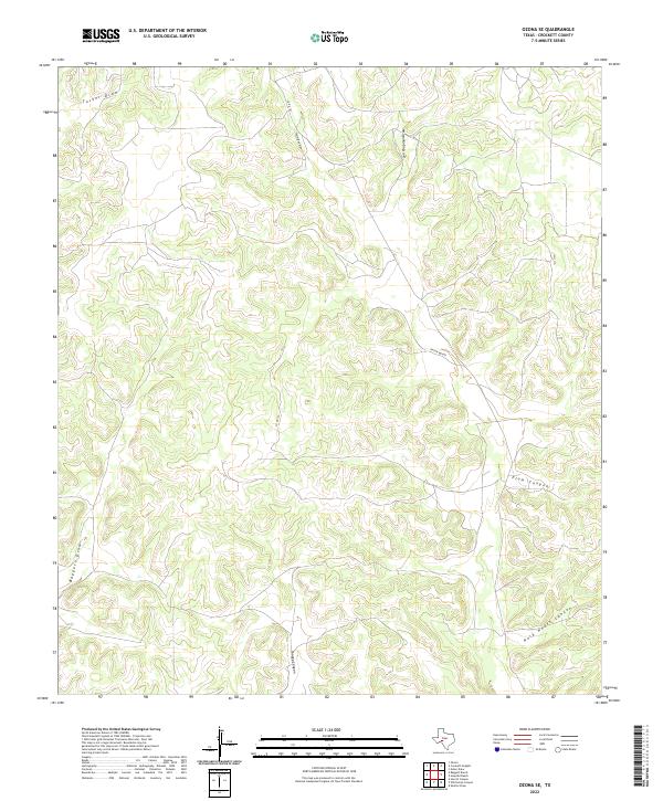
1967 Ozona SE
Crockett County, TX
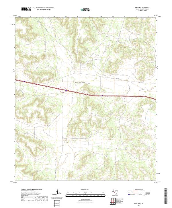
1967 Pikes Peak
Crockett County, TX
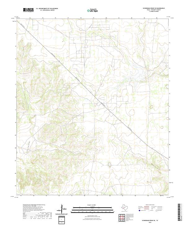
1967 Schneeman Draw NE
Crockett County, TX
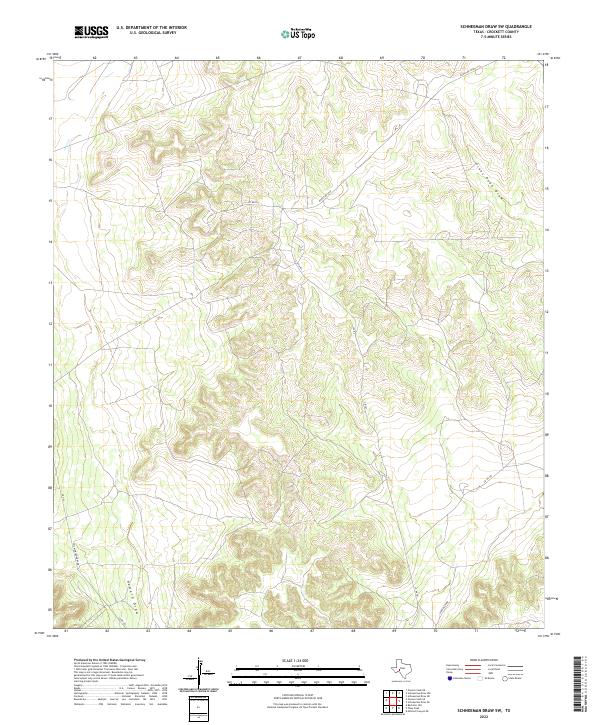
1967 Schneeman Draw NW
Crockett County, TX
1967 Schneeman Draw SE
Crockett County, TX
1967 Schneeman Draw SW
Crockett County, TX

1967 Twelvemile Camp
Crockett County, TX
1969 Wild Horse Canyon
Crockett County, TX
1970 Aermotor Draw
Crockett County, TX
1970 Antone Canyon
Crockett County, TX
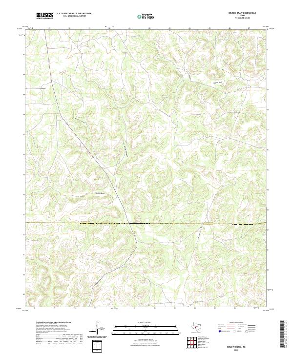
1970 Brushy Draw
Crockett County, TX
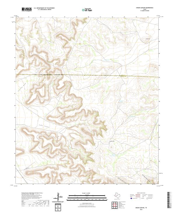
1970 Cedar Canyon
Crockett County, TX
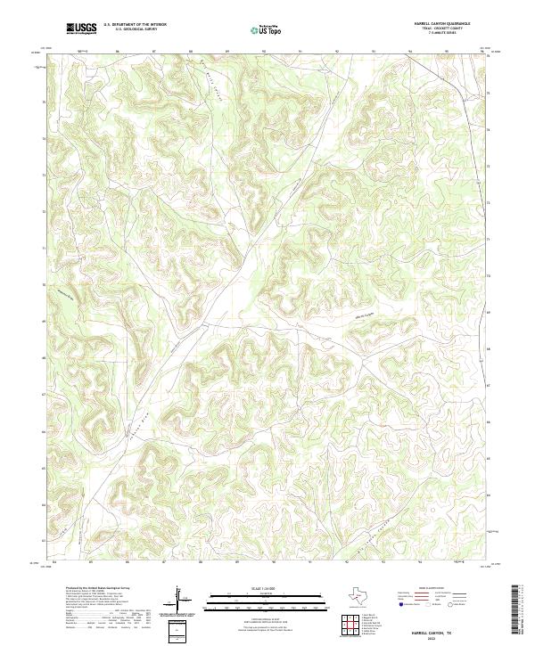
1970 Harrell Canyon
Crockett County, TX
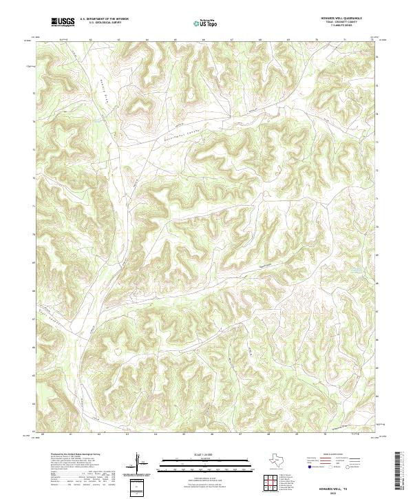
1970 Howards Well
Crockett County, TX
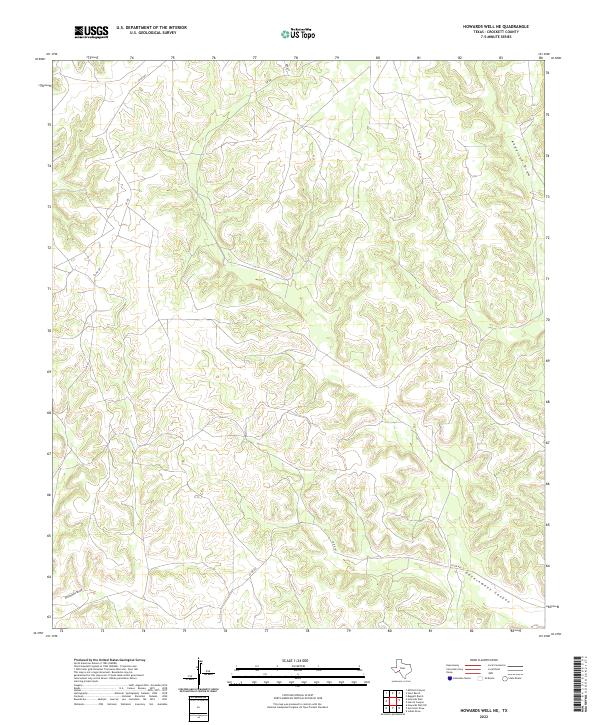
1970 Howards Well NE
Crockett County, TX
1970 Howards Well SW
Crockett County, TX
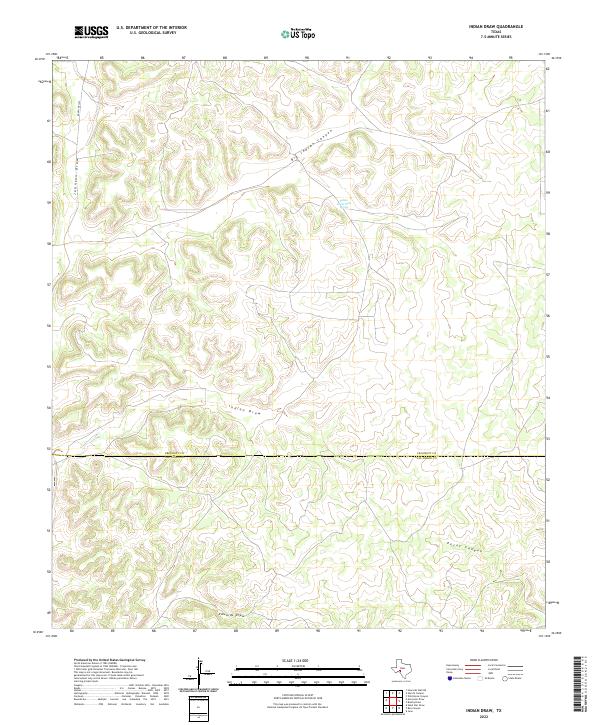
1970 Indian Draw
Crockett County, TX
1970 Lone Mountain
Crockett County, TX
1970 Prince Albert Draw
Crockett County, TX
1970 Rankin SE
Crockett County, TX
1970 Texon SE
Crockett County, TX
1971 Barnhart SW
Crockett County, TX
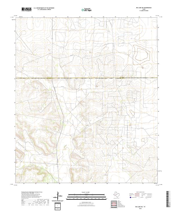
1971 Big Lake SE
Crockett County, TX
1971 Big Lake SW
Crockett County, TX
1971 Suggs
Crockett County, TX
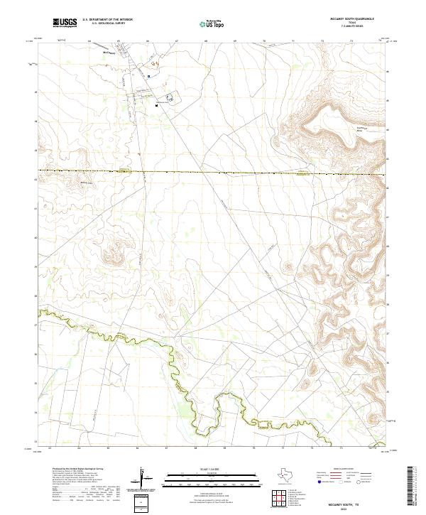
1972 McCamey South
Crockett County, TX
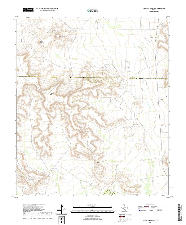
1972 Table Top Mountain
Crockett County, TX
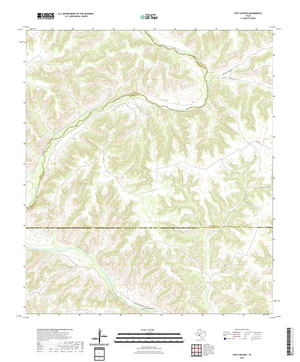
1973 Post Canyon
Crockett County, TX
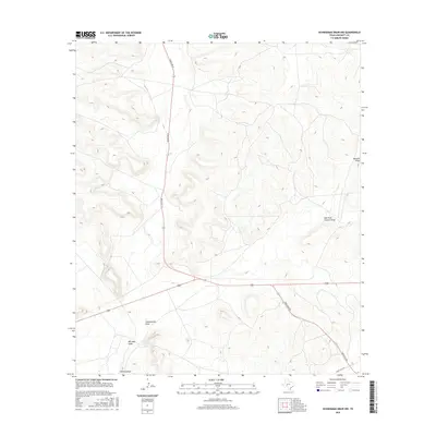
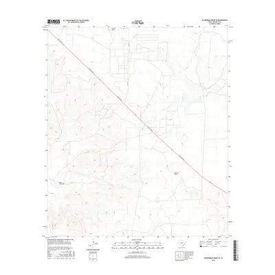
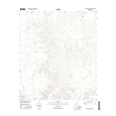
1973 Sixshooter Canyon
Crockett County, TX
2010 Aermotor Draw
Crockett County, TX
2010 Antone Canyon
Crockett County, TX
2010 Bachelor Hill
Crockett County, TX
2010 Baggett Ranch
Crockett County, TX
2010 Barnhart SW
Crockett County, TX
2010 Big Lake SE
Crockett County, TX
2010 Big Lake SW
Crockett County, TX
2010 Brushy Draw
Crockett County, TX
2010 Burnt Canyon
Crockett County, TX
2010 Cedar Canyon
Crockett County, TX
2010 Crockett Heights
Crockett County, TX
2010 Deer Canyon
Crockett County, TX
2010 Double Mill Draw NE
Crockett County, TX
2010 Double Mill Draw NW
Crockett County, TX
2010 Double Mill Draw SE
Crockett County, TX
2010 Fort Lancaster
Crockett County, TX
2010 Harrell Canyon
Crockett County, TX
2010 Howards Well
Crockett County, TX
2010 Howards Well NE
Crockett County, TX
2010 Howards Well SW
Crockett County, TX
2010 Hunt Ranch
Crockett County, TX
2010 Indian Draw
Crockett County, TX

2010 Indio Hill
Crockett County, TX
2010 Lone Mountain
Crockett County, TX
2010 McCamey South
Crockett County, TX
2010 Mitchell Canyon
Crockett County, TX
2010 Mitchell Canyon NE
Crockett County, TX
2010 Owens Creek NE
Crockett County, TX
2010 Owens Creek NW
Crockett County, TX
2010 Owens Creek SE
Crockett County, TX
2010 Owens Creek SW
Crockett County, TX
2010 Ozona SE
Crockett County, TX
2010 Pikes Peak
Crockett County, TX
2010 Post Canyon
Crockett County, TX
2010 Prince Albert Draw
Crockett County, TX
2010 Rankin SE
Crockett County, TX
2010 Schneeman Draw NE
Crockett County, TX
2010 Schneeman Draw NW
Crockett County, TX
2010 Schneeman Draw SE
Crockett County, TX
2010 Schneeman Draw SW
Crockett County, TX
2010 Sixshooter Canyon
Crockett County, TX
2010 Suggs
Crockett County, TX
2010 Table Top Mountain
Crockett County, TX
2010 Texon SE
Crockett County, TX
2010 Twelvemile Camp
Crockett County, TX
2010 Wild Horse Canyon
Crockett County, TX
2012 Aermotor Draw
Crockett County, TX
2012 Antone Canyon
Crockett County, TX
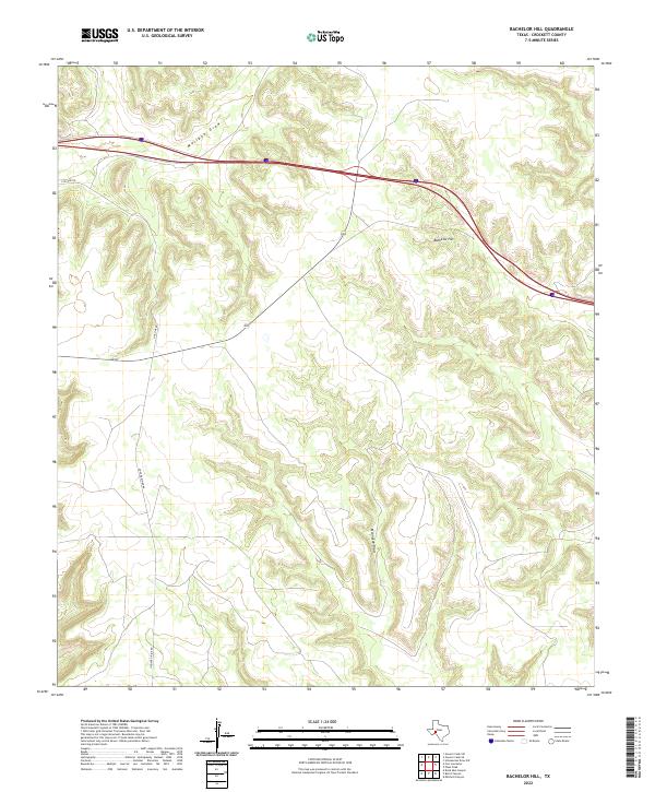
2012 Bachelor Hill
Crockett County, TX
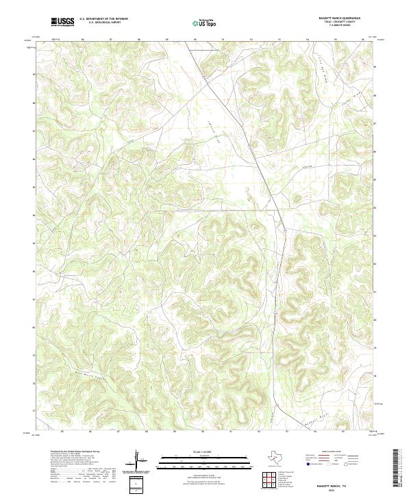
2012 Baggett Ranch
Crockett County, TX
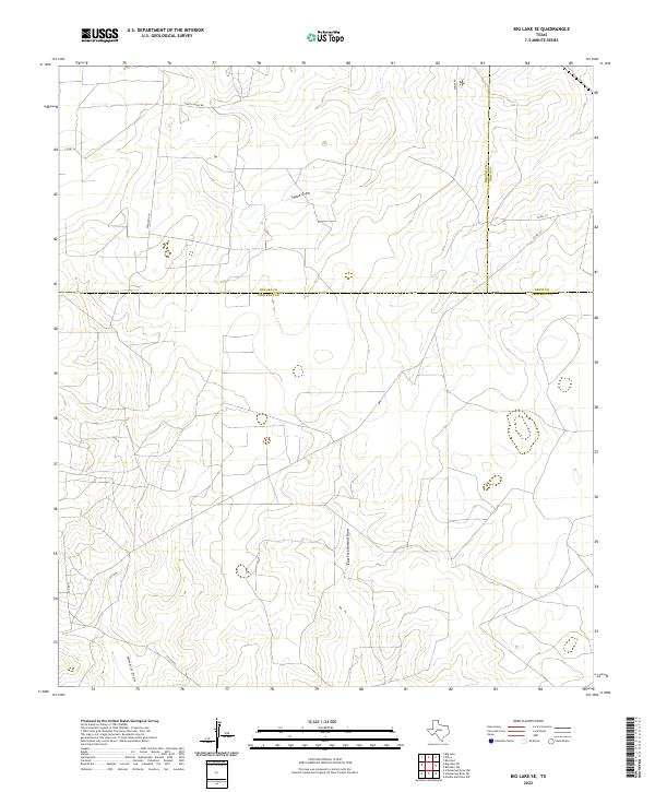
2012 Big Lake SE
Crockett County, TX
2012 Big Lake SW
Crockett County, TX
2012 Brushy Draw
Crockett County, TX
2012 Burnt Canyon
Crockett County, TX
2012 Cedar Canyon
Crockett County, TX
2012 Crockett Heights
Crockett County, TX
2012 Deer Canyon
Crockett County, TX
2012 Double Mill Draw NE
Crockett County, TX
2012 Double Mill Draw NW
Crockett County, TX
2012 Double Mill Draw SE
Crockett County, TX
2012 Fort Lancaster
Crockett County, TX
2012 Harrell Canyon
Crockett County, TX
2012 Howards Well
Crockett County, TX
2012 Howards Well NE
Crockett County, TX
2012 Howards Well SW
Crockett County, TX
2012 Hunt Ranch
Crockett County, TX
2012 Indian Draw
Crockett County, TX
2012 Indio Hill
Crockett County, TX
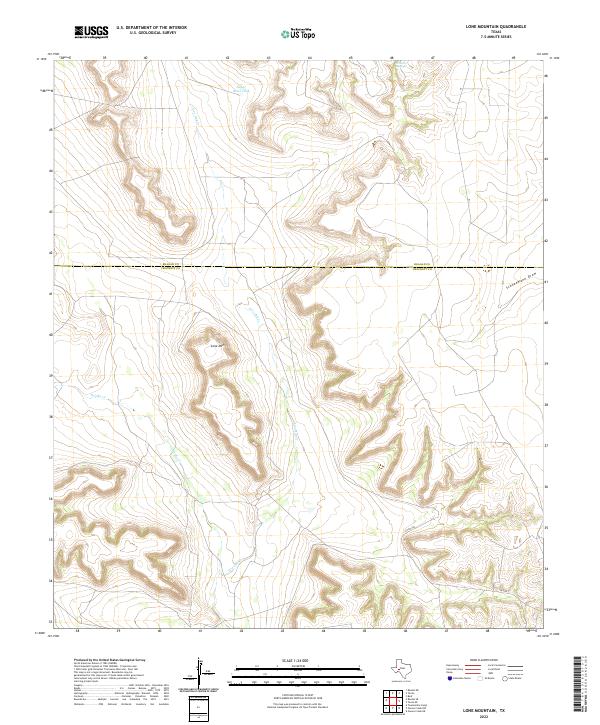
2012 Lone Mountain
Crockett County, TX
2012 Mitchell Canyon
Crockett County, TX
2012 Mitchell Canyon NE
Crockett County, TX
2012 Owens Creek NE
Crockett County, TX
2012 Owens Creek NW
Crockett County, TX
2012 Owens Creek SE
Crockett County, TX
2012 Owens Creek SW
Crockett County, TX
2012 Ozona SE
Crockett County, TX
2012 Pikes Peak
Crockett County, TX
2012 Post Canyon
Crockett County, TX
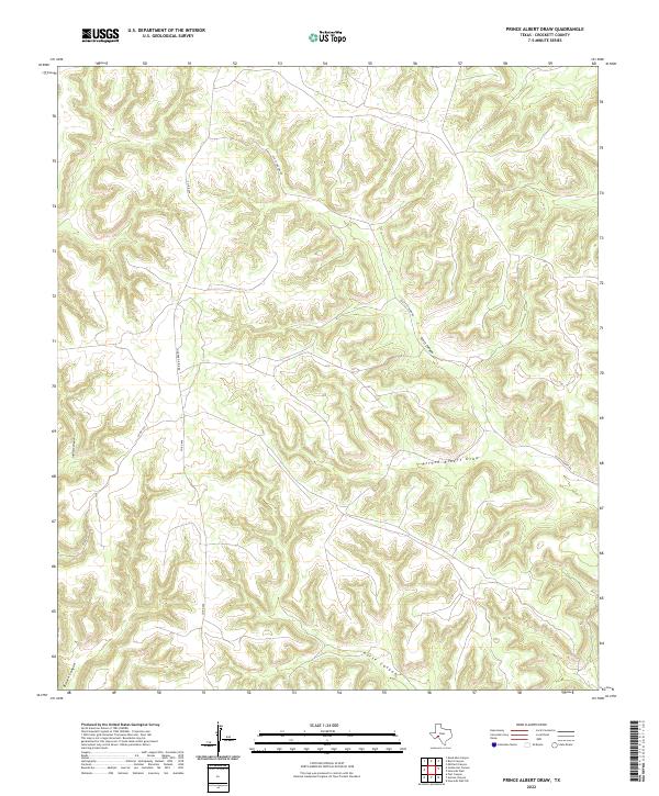
2012 Prince Albert Draw
Crockett County, TX
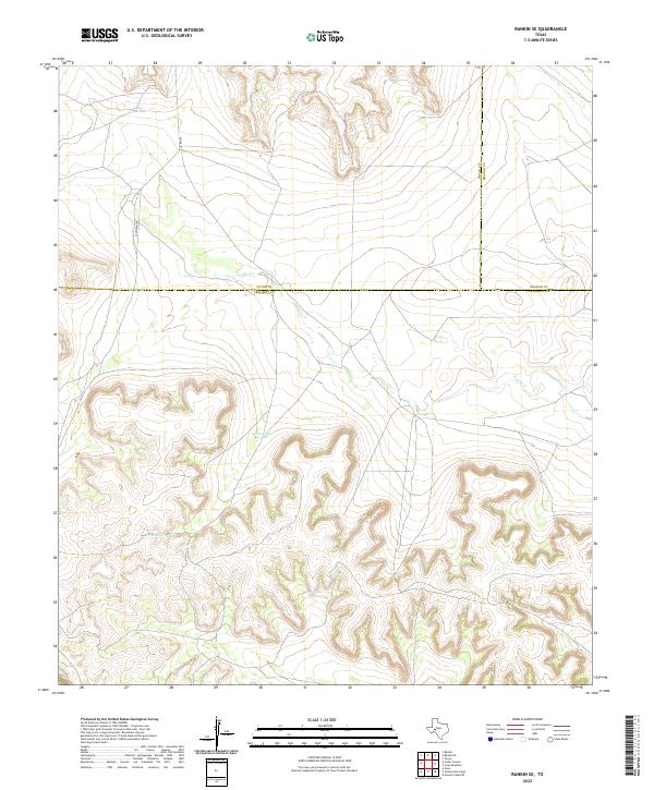
2012 Rankin SE
Crockett County, TX
2012 Schneeman Draw NE
Crockett County, TX
2012 Schneeman Draw NW
Crockett County, TX
2012 Schneeman Draw SE
Crockett County, TX
2012 Schneeman Draw SW
Crockett County, TX
2012 Sixshooter Canyon
Crockett County, TX
2012 Suggs
Crockett County, TX
2012 Table Top Mountain
Crockett County, TX
2012 Texon SE
Crockett County, TX
2012 Twelvemile Camp
Crockett County, TX
2012 Wild Horse Canyon
Crockett County, TX
2013 Barnhart SW
Crockett County, TX
2013 McCamey South
Crockett County, TX
2016 Aermotor Draw
Crockett County, TX

2016 Antone Canyon
Crockett County, TX
2016 Bachelor Hill
Crockett County, TX
2016 Baggett Ranch
Crockett County, TX
2016 Barnhart SW
Crockett County, TX
2016 Big Lake SE
Crockett County, TX
2016 Big Lake SW
Crockett County, TX
2016 Brushy Draw
Crockett County, TX
2016 Burnt Canyon
Crockett County, TX
2016 Cedar Canyon
Crockett County, TX
2016 Crockett Heights
Crockett County, TX
2016 Deer Canyon
Crockett County, TX
2016 Double Mill Draw NE
Crockett County, TX
2016 Double Mill Draw NW
Crockett County, TX
2016 Double Mill Draw SE
Crockett County, TX
2016 Fort Lancaster
Crockett County, TX
2016 Harrell Canyon
Crockett County, TX
2016 Howards Well
Crockett County, TX
2016 Howards Well NE
Crockett County, TX

2016 Howards Well SW
Crockett County, TX
2016 Hunt Ranch
Crockett County, TX
2016 Indian Draw
Crockett County, TX
2016 Indio Hill
Crockett County, TX
2016 Lone Mountain
Crockett County, TX
2016 McCamey South
Crockett County, TX
2016 Mitchell Canyon
Crockett County, TX
2016 Mitchell Canyon NE
Crockett County, TX
2016 Owens Creek NE
Crockett County, TX

2016 Owens Creek NW
Crockett County, TX
2016 Owens Creek SE
Crockett County, TX

2016 Owens Creek SW
Crockett County, TX
2016 Ozona SE
Crockett County, TX
2016 Pikes Peak
Crockett County, TX
2016 Post Canyon
Crockett County, TX
2016 Prince Albert Draw
Crockett County, TX
2016 Rankin SE
Crockett County, TX
2016 Schneeman Draw NE
Crockett County, TX
2016 Schneeman Draw NW
Crockett County, TX
2016 Schneeman Draw SE
Crockett County, TX
2016 Schneeman Draw SW
Crockett County, TX
2016 Sixshooter Canyon
Crockett County, TX
2016 Suggs
Crockett County, TX
2016 Table Top Mountain
Crockett County, TX
2016 Texon SE
Crockett County, TX
2016 Twelvemile Camp
Crockett County, TX
2016 Wild Horse Canyon
Crockett County, TX
2019 Aermotor Draw
Crockett County, TX
2019 Antone Canyon
Crockett County, TX
2019 Bachelor Hill
Crockett County, TX
2019 Baggett Ranch
Crockett County, TX
2019 Barnhart SW
Crockett County, TX
2019 Big Lake SE
Crockett County, TX
2019 Big Lake SW
Crockett County, TX
2019 Brushy Draw
Crockett County, TX
2019 Burnt Canyon
Crockett County, TX
2019 Cedar Canyon
Crockett County, TX
2019 Crockett Heights
Crockett County, TX
2019 Deer Canyon
Crockett County, TX
2019 Double Mill Draw NE
Crockett County, TX
2019 Double Mill Draw NW
Crockett County, TX
2019 Double Mill Draw SE
Crockett County, TX
2019 Fort Lancaster
Crockett County, TX
2019 Harrell Canyon
Crockett County, TX
2019 Howards Well
Crockett County, TX
2019 Howards Well NE
Crockett County, TX
2019 Howards Well SW
Crockett County, TX
2019 Hunt Ranch
Crockett County, TX
2019 Indian Draw
Crockett County, TX

2019 Indio Hill
Crockett County, TX
2019 Lone Mountain
Crockett County, TX
2019 McCamey South
Crockett County, TX
2019 Mitchell Canyon
Crockett County, TX
2019 Mitchell Canyon NE
Crockett County, TX
2019 Owens Creek NE
Crockett County, TX
2019 Owens Creek NW
Crockett County, TX
2019 Owens Creek SE
Crockett County, TX
2019 Owens Creek SW
Crockett County, TX
2019 Ozona SE
Crockett County, TX
2019 Pikes Peak
Crockett County, TX
2019 Post Canyon
Crockett County, TX
2019 Prince Albert Draw
Crockett County, TX

2019 Rankin SE
Crockett County, TX
2019 Schneeman Draw NE
Crockett County, TX
2019 Schneeman Draw NW
Crockett County, TX
2019 Schneeman Draw SE
Crockett County, TX
2019 Schneeman Draw SW
Crockett County, TX
2019 Sixshooter Canyon
Crockett County, TX
2019 Suggs
Crockett County, TX
2019 Table Top Mountain
Crockett County, TX
2019 Texon SE
Crockett County, TX
2019 Twelvemile Camp
Crockett County, TX
2019 Wild Horse Canyon
Crockett County, TX
2022 Aermotor Draw
Crockett County, TX
2022 Antone Canyon
Crockett County, TX
2022 Bachelor Hill
Crockett County, TX
2022 Baggett Ranch
Crockett County, TX
2022 Barnhart SW
Crockett County, TX
2022 Big Lake SE
Crockett County, TX
2022 Big Lake SW
Crockett County, TX
2022 Brushy Draw
Crockett County, TX
2022 Burnt Canyon
Crockett County, TX
2022 Cedar Canyon
Crockett County, TX
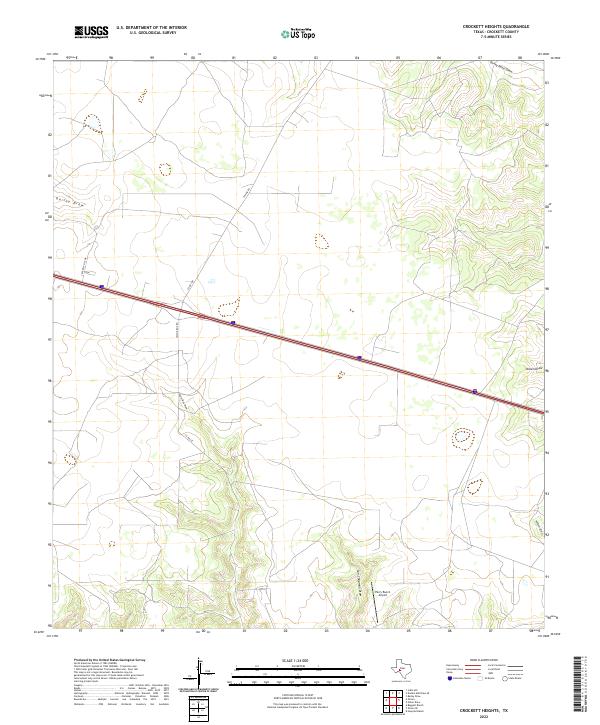
2022 Crockett Heights
Crockett County, TX
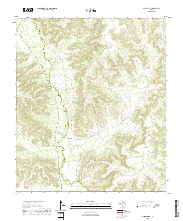
2022 Deer Canyon
Crockett County, TX
2022 Double Mill Draw NE
Crockett County, TX
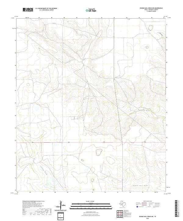
2022 Double Mill Draw NW
Crockett County, TX
2022 Double Mill Draw SE
Crockett County, TX
2022 Fort Lancaster
Crockett County, TX
2022 Harrell Canyon
Crockett County, TX
2022 Howards Well
Crockett County, TX
2022 Howards Well NE
Crockett County, TX
2022 Howards Well SW
Crockett County, TX
2022 Hunt Ranch
Crockett County, TX
2022 Indian Draw
Crockett County, TX
2022 Indio Hill
Crockett County, TX
2022 Lone Mountain
Crockett County, TX
2022 McCamey South
Crockett County, TX
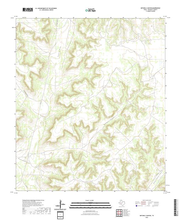
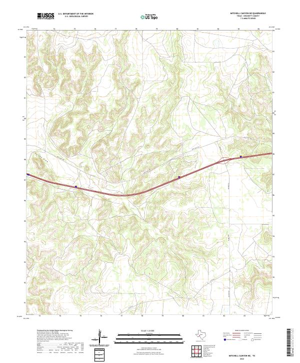
2022 Mitchell Canyon
Crockett County, TX
2022 Mitchell Canyon NE
Crockett County, TX
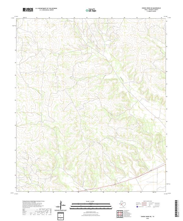
2022 Owens Creek NE
Crockett County, TX
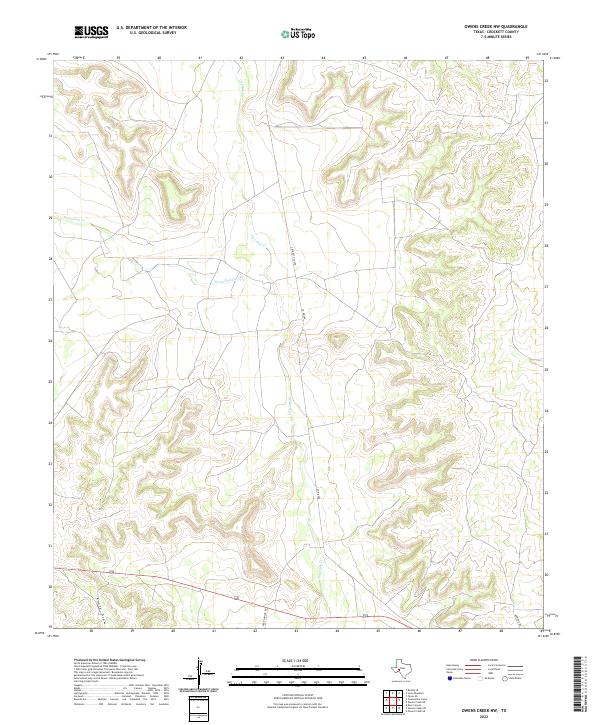
2022 Owens Creek NW
Crockett County, TX
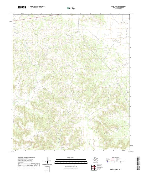
2022 Owens Creek SE
Crockett County, TX
2022 Owens Creek SW
Crockett County, TX
2022 Ozona SE
Crockett County, TX
2022 Pikes Peak
Crockett County, TX
2022 Post Canyon
Crockett County, TX
2022 Prince Albert Draw
Crockett County, TX
2022 Rankin SE
Crockett County, TX
2022 Schneeman Draw NE
Crockett County, TX
2022 Schneeman Draw NW
Crockett County, TX
2022 Schneeman Draw SE
Crockett County, TX
2022 Schneeman Draw SW
Crockett County, TX
2022 Sixshooter Canyon
Crockett County, TX
2022 Suggs
Crockett County, TX
2022 Table Top Mountain
Crockett County, TX
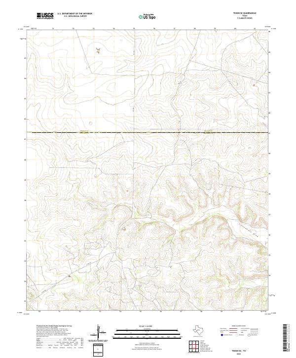
2022 Texon SE
Crockett County, TX
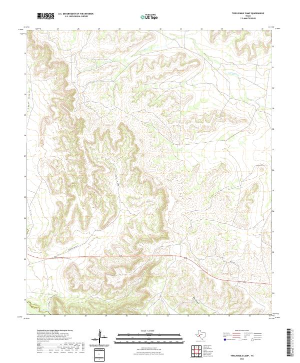
2022 Twelvemile Camp
Crockett County, TX
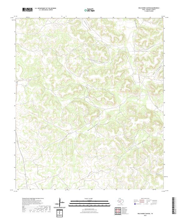
2022 Wild Horse Canyon
Crockett County, TX