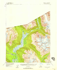
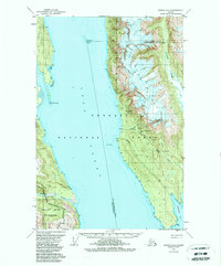
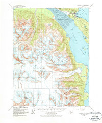
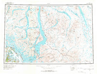
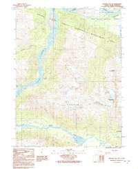
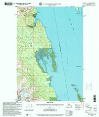
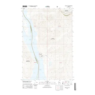
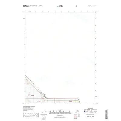
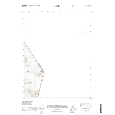
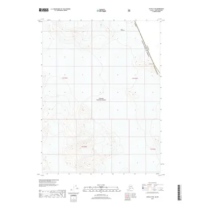
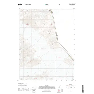
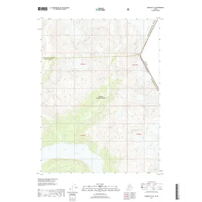
1954 Map of Skagway C-3
USGS Topo · Published 1964About this map
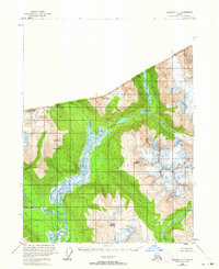
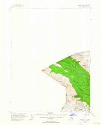
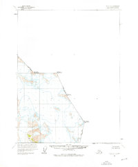
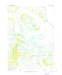
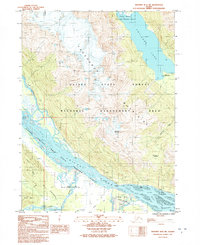
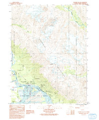
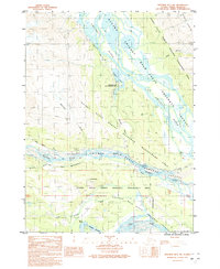
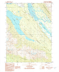
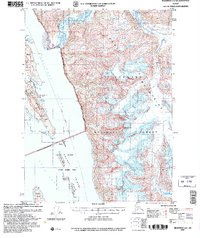
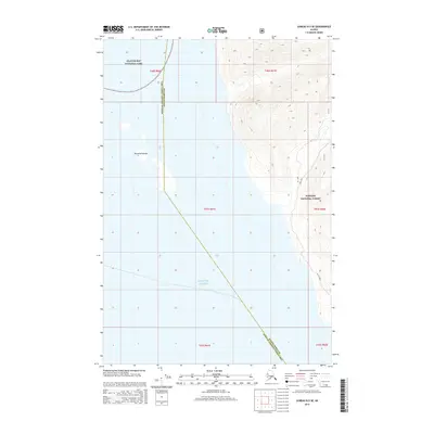
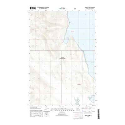
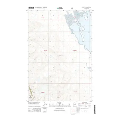
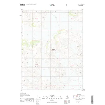
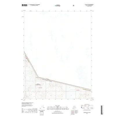
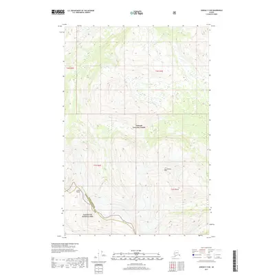
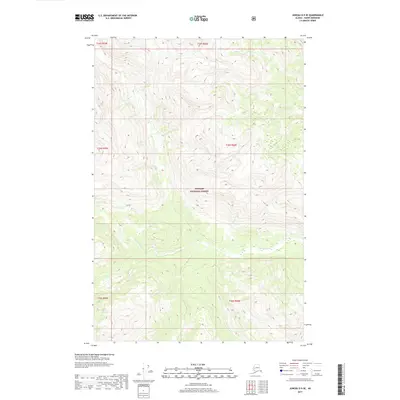
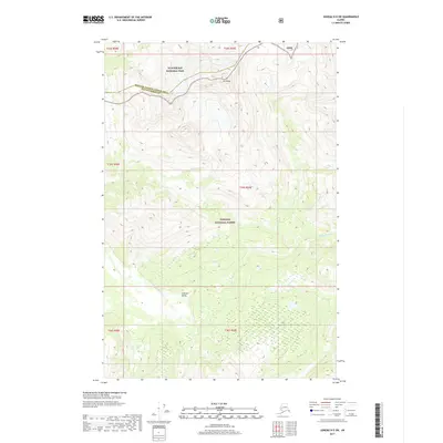
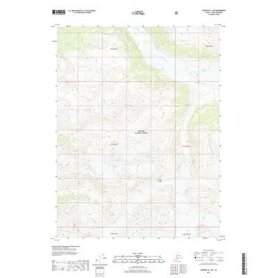
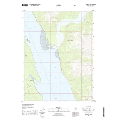
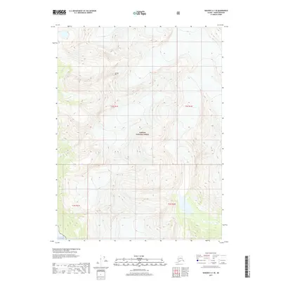
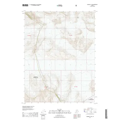
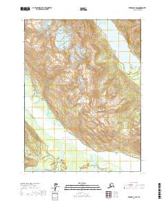
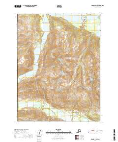
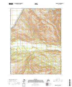
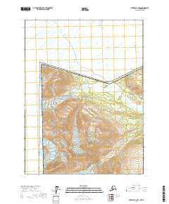
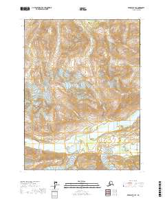
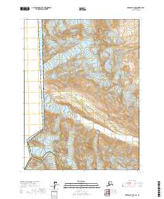
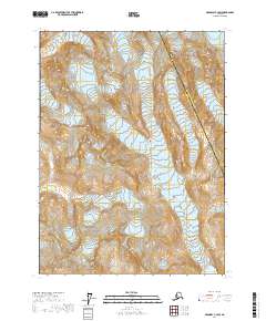
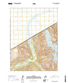
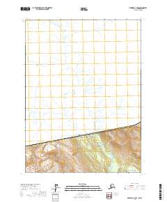
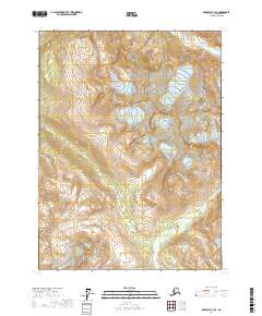
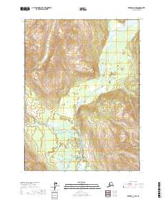
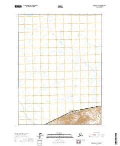
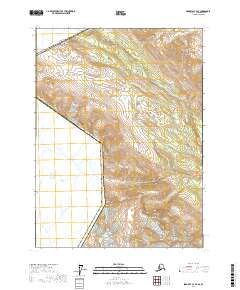
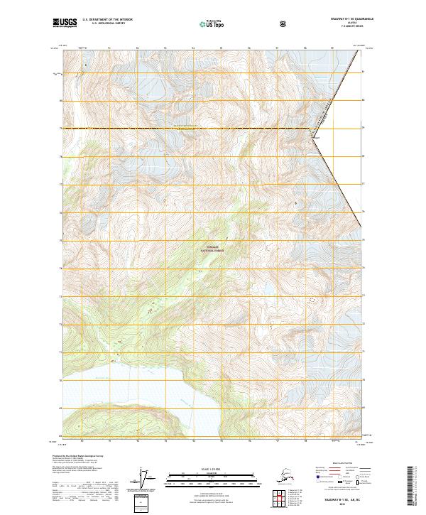
The Klehini River and its expansive braided channels dominate this 1954 survey of the wilderness north of Haines. Flowing through a valley defined by the Canada-United States boundary and the border with British Columbia, the river system meets the Chilkat River in a complex network of wetlands and shifting bars. The terrain is marked by prominent peaks such as Tohitkah Mountain, Klukwah Mountain, and Klutshah Mountain, which rise sharply above the river drainages. This era of mapping, based on 1948 aerial photography and 1954 field annotation, captures the glacial hydrology and topography of the region before any modern infrastructure or roads were established. Minor tributaries like the Kelsa River, Nataga Creek, and the Tahini River feed into the main stems, illustrating a landscape defined entirely by its natural watercourses and high-altitude summits like Mt Raymond.
Find a feature on this map
11 named features on this map. Tap any name to fly to it.
Don’t see what you’re looking for? This feature index may not catch every label — zoom into the map to look around manually.
Map Details
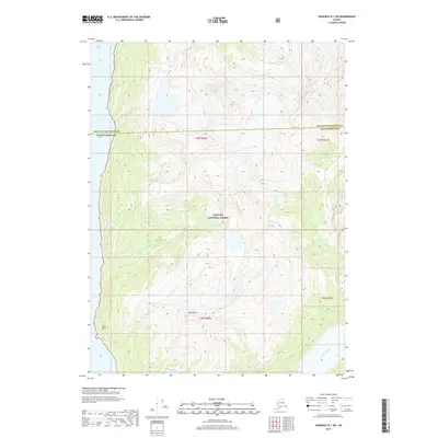
Editions of this 1954 Skagway C-3 Map
This is the sole edition of this map. No revisions or reprints were ever made.
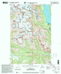
Historical Maps of Haines Through Time
133 maps found
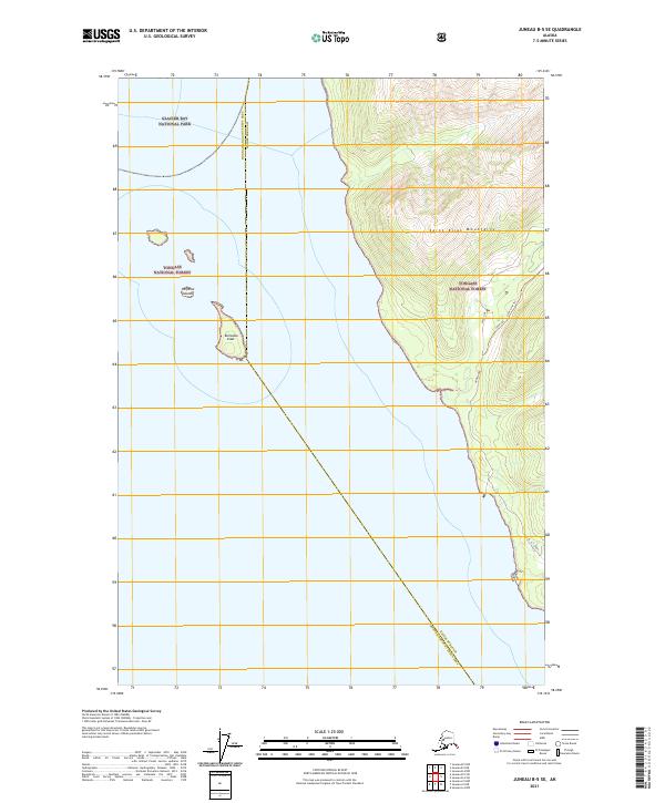
1948 Juneau B-4
Haines Borough, AK
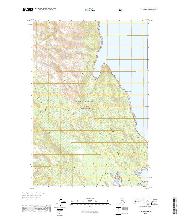
1948 Juneau C-4
Haines Borough, AK
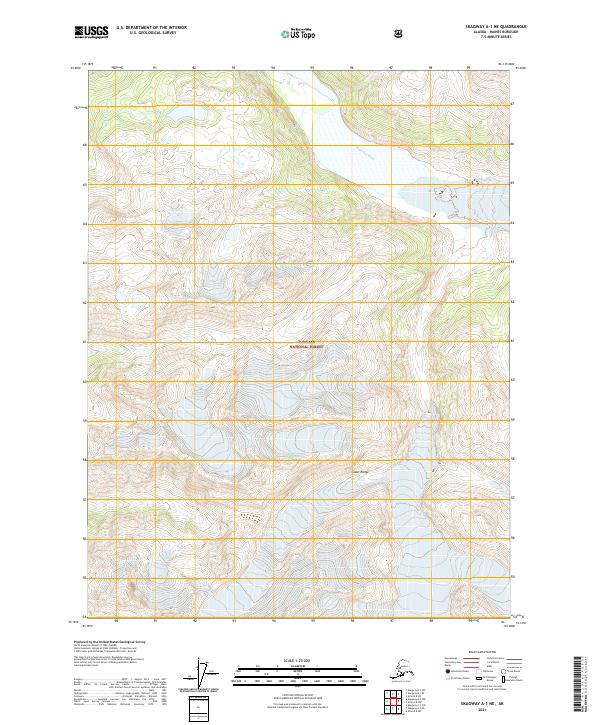
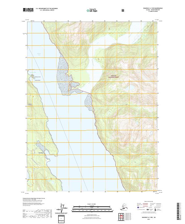
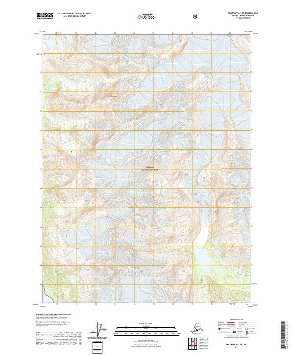
1948 Skagway A-1
Haines Borough, AK
1948 Skagway C-3
Haines Borough, AK
1948 Skagway C-4
Haines Borough, AK

1949 Atlin
Haines Borough, AK
1949 Juneau B-4
Haines Borough, AK
1949 Juneau C-4
Haines Borough, AK
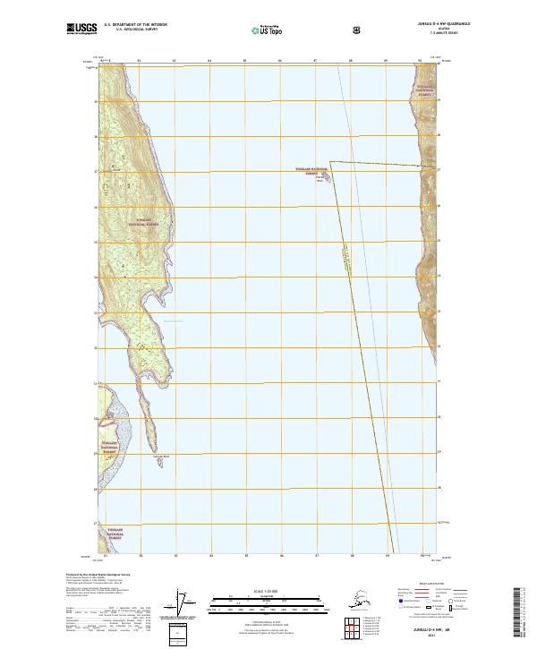
1949 Juneau D-4
Haines Borough, AK
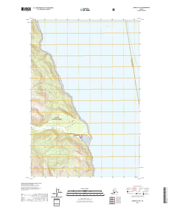
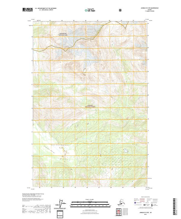
1949 Juneau D-5
Haines Borough, AK

1951 Atlin
Haines Borough, AK
1951 Juneau D-4
Haines Borough, AK
1951 Skagway A-1
Haines Borough, AK
1954 Skagway A-2
Haines Borough, AK
1954 Skagway B-2
Haines Borough, AK
1954 Skagway B-3
Haines Borough, AK
1954 Skagway B-4
Haines Borough, AK
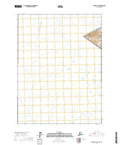
1954 Skagway C-3
Haines Borough, AK
1954 Skagway C-4
Haines Borough, AK
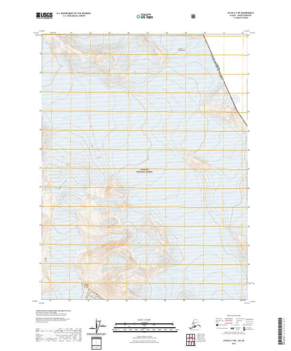
1960 Atlin A-7
Haines Borough, AK
1960 Atlin A-8
Haines Borough, AK
1960 Atlin B-8
Haines Borough, AK
1960 Atlin
Haines Borough, AK
1991 Skagway A-1 NW
Haines Borough, AK

1991 Skagway A-2 NE
Haines Borough, AK
1991 Skagway B-1 SW
Haines Borough, AK
1991 Skagway B-2 SE
Haines Borough, AK
1991 Skagway B-2 SW
Haines Borough, AK
1991 Skagway B-3 NE
Haines Borough, AK
1991 Skagway B-3 NW
Haines Borough, AK
1991 Skagway B-3 SE
Haines Borough, AK
1991 Skagway B-3 SW
Haines Borough, AK
1992 Skagway B-4 NE
Haines Borough, AK
1992 Skagway B-4 NW
Haines Borough, AK
1996 Juneau B-4
Haines Borough, AK
1996 Juneau C-4
Haines Borough, AK
1996 Juneau D-5
Haines Borough, AK
2004 Atlin A-7
Haines Borough, AK
2004 Atlin A-8
Haines Borough, AK
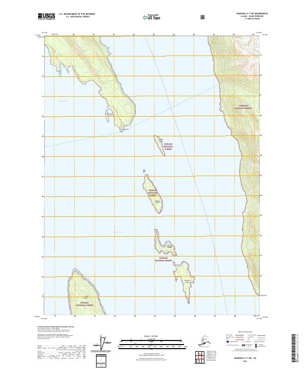
2004 Skagway A-1
Haines Borough, AK

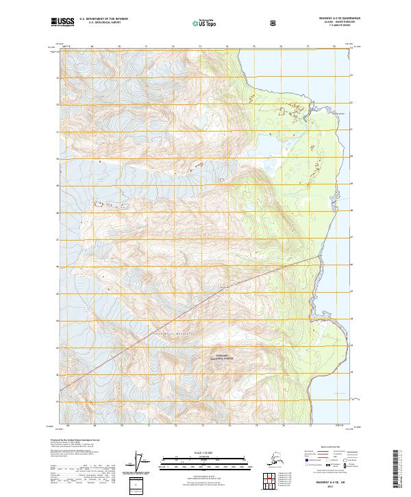
2004 Skagway A-2
Haines Borough, AK
2015 Juneau A-4 NW
Haines Borough, AK
2015 Juneau B-4 NW
Haines Borough, AK
2015 Juneau B-4 SW
Haines Borough, AK
2015 Juneau B-5 NE
Haines Borough, AK
2015 Juneau B-5 SE
Haines Borough, AK
2015 Juneau C-4 NW
Haines Borough, AK
2015 Juneau C-4 SW
Haines Borough, AK
2017 Atlin A-7 NW
Haines Borough, AK
2017 Atlin A-7 SE
Haines Borough, AK
2017 Atlin A-7 SW
Haines Borough, AK
2017 Atlin A-8 NE
Haines Borough, AK
2017 Atlin A-8 NW
Haines Borough, AK
2017 Atlin A-8 SE
Haines Borough, AK
2017 Atlin A-8 SW
Haines Borough, AK
2017 Atlin B-8 SE
Haines Borough, AK
2017 Atlin B-8 SW
Haines Borough, AK
2017 Juneau A-4 NE
Haines Borough, AK
2017 Juneau B-4 NE
Haines Borough, AK
2017 Juneau B-4 SE
Haines Borough, AK
2017 Juneau C-5 NE
Haines Borough, AK
2017 Juneau D-4 NW
Haines Borough, AK
2017 Juneau D-4 SW
Haines Borough, AK
2017 Juneau D-5 NE
Haines Borough, AK
2017 Juneau D-5 SE
Haines Borough, AK
2017 Juneau D-5 SW
Haines Borough, AK
2017 Skagway A-1 NE
Haines Borough, AK
2017 Skagway A-1 NW
Haines Borough, AK
2017 Skagway A-1 SE
Haines Borough, AK
2017 Skagway A-1 SW
Haines Borough, AK

2017 Skagway A-2 NE
Haines Borough, AK
2017 Skagway A-2 NW
Haines Borough, AK
2017 Skagway A-2 SE
Haines Borough, AK
2017 Skagway A-2 SW
Haines Borough, AK
2017 Skagway A-3 NE
Haines Borough, AK
2017 Skagway A-3 NW
Haines Borough, AK
2017 Skagway B-1 NE
Haines Borough, AK
2017 Skagway B-1 SE
Haines Borough, AK
2017 Skagway B-1 SW
Haines Borough, AK
2017 Skagway B-2 NE
Haines Borough, AK
2017 Skagway B-2 NW
Haines Borough, AK

2017 Skagway B-2 SE
Haines Borough, AK
2017 Skagway B-2 SW
Haines Borough, AK
2017 Skagway B-3 NE
Haines Borough, AK
2017 Skagway B-3 NW
Haines Borough, AK
2017 Skagway B-3 SE
Haines Borough, AK
2017 Skagway B-3 SW
Haines Borough, AK
2017 Skagway B-4 NE
Haines Borough, AK
2017 Skagway B-4 NW
Haines Borough, AK
2017 Skagway B-4 SE
Haines Borough, AK
2017 Skagway B-4 SW
Haines Borough, AK
2017 Skagway C-2 SW
Haines Borough, AK
2017 Skagway C-3 NE
Haines Borough, AK
2017 Skagway C-3 NW
Haines Borough, AK
2017 Skagway C-3 SE
Haines Borough, AK
2017 Skagway C-3 SW
Haines Borough, AK
2017 Skagway C-4 NE
Haines Borough, AK
2017 Skagway C-4 SE
Haines Borough, AK
2017 Skagway C-4 SW
Haines Borough, AK
2021 Atlin A-7 NW
Haines Borough, AK
2021 Atlin A-7 SE
Haines Borough, AK
2021 Atlin A-7 SW
Haines Borough, AK
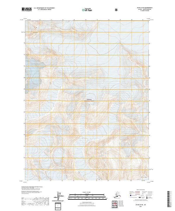
2021 Atlin A-8 NE
Haines Borough, AK
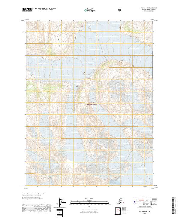
2021 Atlin A-8 NW
Haines Borough, AK
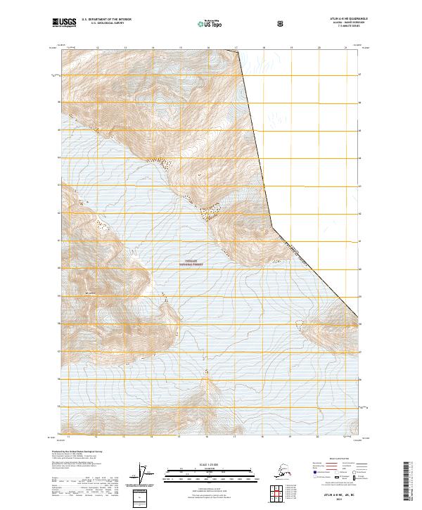
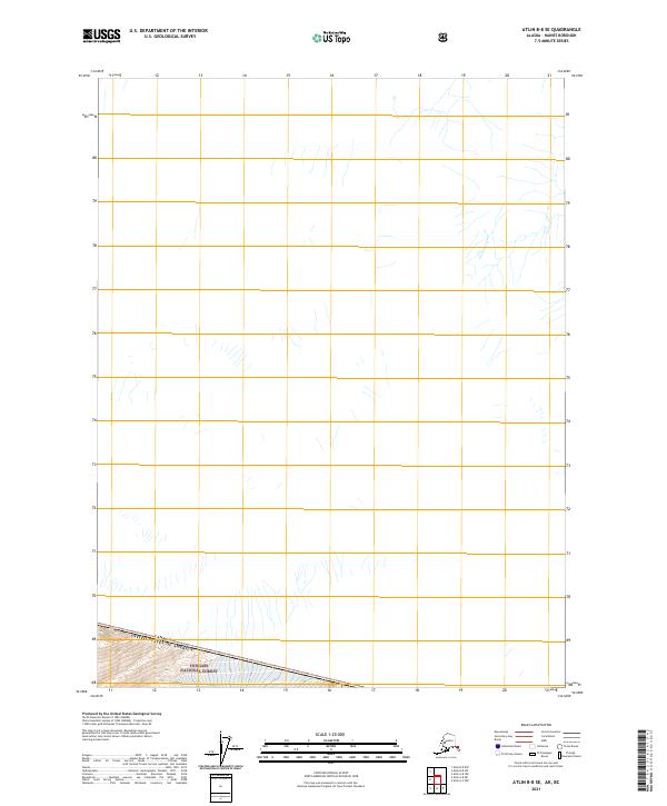
2021 Atlin A-8 SE
Haines Borough, AK
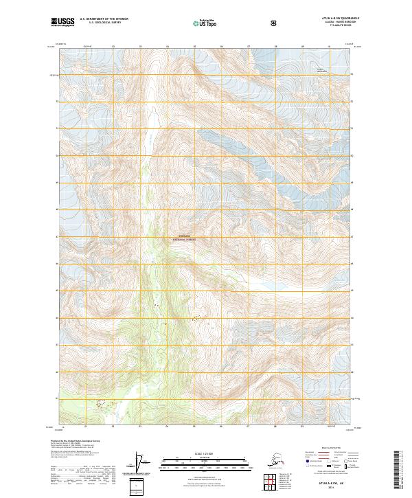
2021 Atlin A-8 SW
Haines Borough, AK
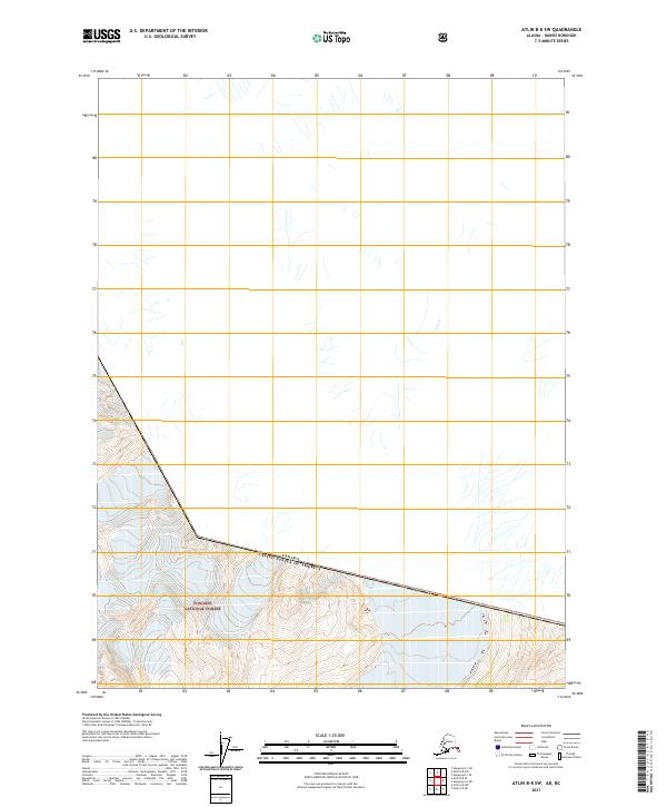
2021 Atlin B-8 SE
Haines Borough, AK
2021 Atlin B-8 SW
Haines Borough, AK
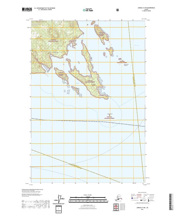
2021 Juneau A-4 NE
Haines Borough, AK
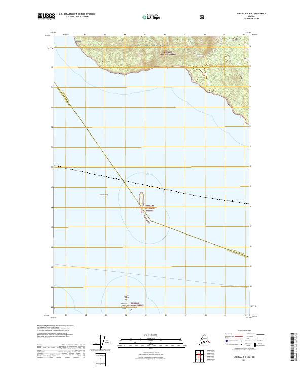
2021 Juneau A-4 NW
Haines Borough, AK
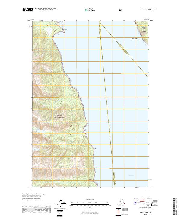
2021 Juneau B-4 NE
Haines Borough, AK
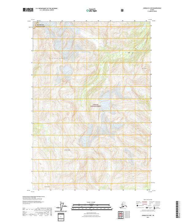
2021 Juneau B-4 NW
Haines Borough, AK
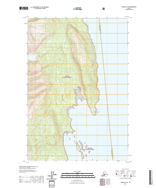
2021 Juneau B-4 SE
Haines Borough, AK

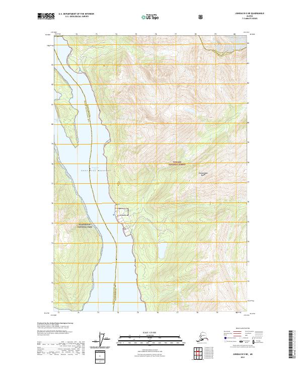
2021 Juneau B-4 SW
Haines Borough, AK
2021 Juneau B-5 NE
Haines Borough, AK
2021 Juneau B-5 SE
Haines Borough, AK
2021 Juneau C-4 NW
Haines Borough, AK
2021 Juneau C-4 SW
Haines Borough, AK
2021 Juneau C-5 NE
Haines Borough, AK
2021 Juneau D-4 NW
Haines Borough, AK
2021 Juneau D-4 SW
Haines Borough, AK
2021 Juneau D-5 NE
Haines Borough, AK
2021 Juneau D-5 SE
Haines Borough, AK
2021 Juneau D-5 SW
Haines Borough, AK
2021 Skagway A-1 NE
Haines Borough, AK
2021 Skagway A-1 NW
Haines Borough, AK
2021 Skagway A-1 SE
Haines Borough, AK
2021 Skagway A-1 SW
Haines Borough, AK
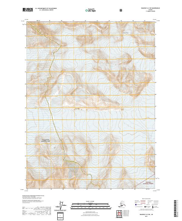
2021 Skagway A-2 SE
Haines Borough, AK
2021 Skagway A-2 SW
Haines Borough, AK
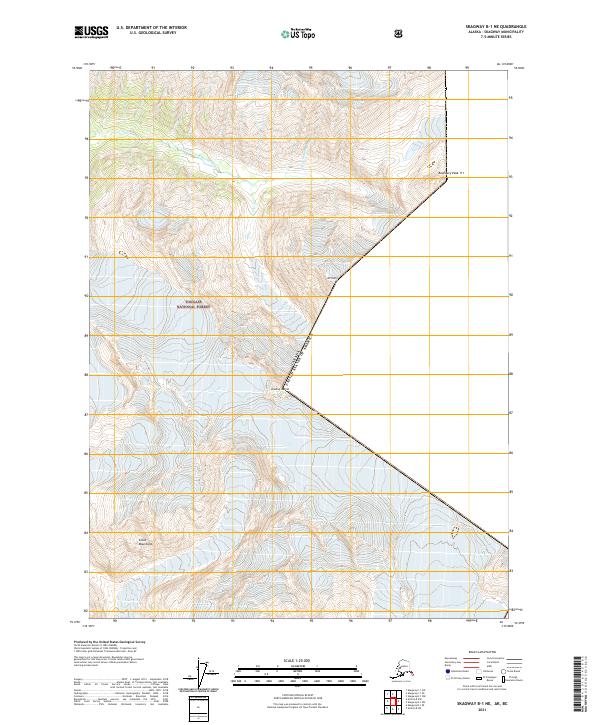
2021 Skagway B-1 NE
Haines Borough, AK
2021 Skagway B-1 SE
Haines Borough, AK
2021 Skagway B-1 SW
Haines Borough, AK