
1948 Map of Skagway C-4
USGS Topo · Published 1958About this map
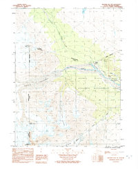
Kelsall River defines the drainage of this remote borderland territory, which follows the international boundary between Alaska and British Columbia. This 1948 topographic study traces the high-altitude terrain where glacial activity remains a dominant force on the landscape, specifically marking treacherous areas of Crevasses near the mountain peaks. The geography is anchored by significant summits including Hiteshitak Mountain, Mt Prinsep, and Chilkat Peak, which tower over the deep valleys of Nataga Creek and Rosaunt Creek. The map provides a precise record of the Canada-United States border just before mid-century, capturing the physical realities of the First Judicial Division where steep elevation changes and ice fields dictate the limits of human passage.
Find a feature on this map
11 named features on this map. Tap any name to fly to it.
Don’t see what you’re looking for? This feature index may not catch every label — zoom into the map to look around manually.
Map Details
Editions of this 1948 Skagway C-4 Map
This is the sole edition of this map. No revisions or reprints were ever made.
Other maps of this area

1948 · Skagway C-3
USGS Topo · 1:63,360

1952 · Skagway
USGS Topo · 1:250,000

1954 · Skagway B-3
USGS Topo · 1:63,360

1954 · Skagway B-4
USGS Topo · 1:63,360
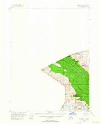
1954 · Skagway C-4
USGS Topo · 1:63,360
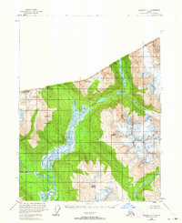
1954 · Skagway C-3
USGS Topo · 1:63,360

1961 · Skagway
USGS Topo · 1:250,000
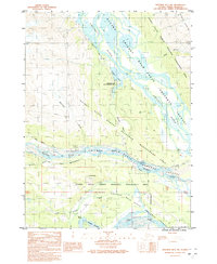
1991 · Skagway B-3 NW
USGS Topo · 1:25,000
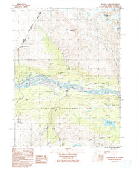
1992 · Skagway B-4 NE
USGS Topo · 1:25,000
1992 · Skagway B-4 NW
USGS Topo · 1:25,000