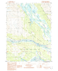
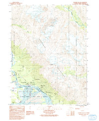
1991 Map of Skagway B-3 NW
USGS Topo · Published 1991About this map
The Alaska Chilkat Bald Eagle Preserve dominates the riverine landscape where the Chilkat River, Klehini River, and Tsirku River converge. This 1991 provisional survey captures a critical ecological and transit corridor, showcasing the Haines State Forest Resource Management Area and the Mosquito Lake State Recreation Site.
Find a feature on this map
19 named features on this map. Tap any name to fly to it.
Don’t see what you’re looking for? This feature index may not catch every label — zoom into the map to look around manually.
Map Details
Editions of this 1991 Skagway B-3 NW Map
This is the sole edition of this map. No revisions or reprints were ever made.
Other maps of this area

1948 · Skagway C-4
USGS Topo · 1:63,360

1948 · Skagway C-3
USGS Topo · 1:63,360

1952 · Skagway
USGS Topo · 1:250,000

1954 · Skagway B-3
USGS Topo · 1:63,360

1954 · Skagway B-4
USGS Topo · 1:63,360
1954 · Skagway C-4
USGS Topo · 1:63,360
1954 · Skagway C-3
USGS Topo · 1:63,360

1961 · Skagway
USGS Topo · 1:250,000
1991 · Skagway B-3 SW
USGS Topo · 1:25,000
1991 · Skagway B-3 NE
USGS Topo · 1:25,000