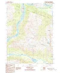
1991 Map of Skagway B-3 SW
USGS Topo · Published 1991About this map
Dalton Trail marks a path of deep historical significance through this corner of the Haines State Forest Resource Management Area during the early 1990s. The map illustrates the complex drainage of the Tsirku River as it braids across the valley floor to meet the Chilkat River near the Bald Eagle Preserve. This confluence, shadowed by the massive Takhin Ridge and peaks like Mount Jonathan Ward, defines a landscape where transport was dictated by the river systems and the historical overland route northward. A remote Landing Strip and the southern reach of Chilkat Lake further reveal the area's isolation and its reliance on seasonal wilderness access.
Find a feature on this map
12 named features on this map. Tap any name to fly to it.
Don’t see what you’re looking for? This feature index may not catch every label — zoom into the map to look around manually.
Map Details
Editions of this 1991 Skagway B-3 SW Map
This is the sole edition of this map. No revisions or reprints were ever made.
Other maps of this area

1952 · Skagway
USGS Topo · 1:250,000

1954 · Skagway A-3
USGS Topo · 1:63,360

1954 · Skagway B-3
USGS Topo · 1:63,360

1954 · Skagway B-4
USGS Topo · 1:63,360
1961 · Skagway A-4
USGS Topo · 1:63,360

1961 · Skagway
USGS Topo · 1:250,000
1991 · Skagway B-3 NW
USGS Topo · 1:25,000
1991 · Skagway B-3 NE
USGS Topo · 1:25,000
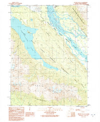
1991 · Skagway B-3 SE
USGS Topo · 1:25,000
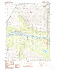
1992 · Skagway B-4 NE
USGS Topo · 1:25,000