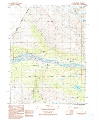
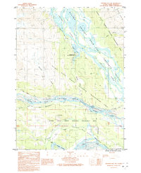
1992 Map of Skagway B-4 NE
USGS Topo · Published 1992About this map
The Klehini River valley serves as a critical corridor in this borderland region where Alaska meets British Columbia. This survey captures the transition from the braided river flats to the high peaks of Four Winds Mountain and Mount Cheetdeekahyu. A significant historical element is the Dalton Trail (Historic-Indefinite), which parallels the modern Haines Highway, tracing a route essential to early regional movement and the Klondike era.
Find a feature on this map
22 named features on this map. Tap any name to fly to it.
Don’t see what you’re looking for? This feature index may not catch every label — zoom into the map to look around manually.
Map Details
Editions of this 1992 Skagway B-4 NE Map
This is the sole edition of this map. No revisions or reprints were ever made.
Other maps of this area

1948 · Skagway C-4
USGS Topo · 1:63,360

1948 · Skagway C-3
USGS Topo · 1:63,360

1952 · Skagway
USGS Topo · 1:250,000

1954 · Skagway B-3
USGS Topo · 1:63,360

1954 · Skagway B-4
USGS Topo · 1:63,360
1954 · Skagway C-4
USGS Topo · 1:63,360
1954 · Skagway C-3
USGS Topo · 1:63,360

1961 · Skagway
USGS Topo · 1:250,000
1991 · Skagway B-3 SW
USGS Topo · 1:25,000
1991 · Skagway B-3 NW
USGS Topo · 1:25,000