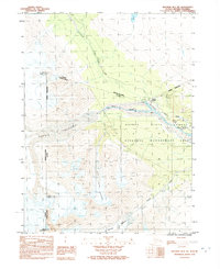
1992 Map of Skagway B-4 NW
USGS Topo · Published 1992About this map
The international boundary between British Columbia and Alaska cuts across this mountainous terrain, defining the northern reaches of the Haines Borough. At the heart of this landscape is the junction of the Klehini River and Jarvis Creek, where the Dalton Cache stands as a focal point for trans-border transit and historical trade. The geography is dominated by massive ice fields, including the expansive Jarvis Glacier and the Saksaia Glacier, which flow between prominent peaks such as Mount McDonell and Mount Henry Clay. Transportation through this steep environment follows the corridor of the Haines Highway and the Haines Road, which parallel the Dalton (Historic Trail Indefinite). Much of the land is preserved within the Haines State Forest Resource Management Area, emphasizing the region's managed wilderness character during the early 1990s.
Find a feature on this map
14 named features on this map. Tap any name to fly to it.
Don’t see what you’re looking for? This feature index may not catch every label — zoom into the map to look around manually.
Map Details
Editions of this 1992 Skagway B-4 NW Map
This is the sole edition of this map. No revisions or reprints were ever made.
Other maps of this area

1948 · Skagway C-4
USGS Topo · 1:63,360

1952 · Skagway
USGS Topo · 1:250,000

1954 · Skagway B-4
USGS Topo · 1:63,360
1954 · Skagway C-4
USGS Topo · 1:63,360

1961 · Skagway
USGS Topo · 1:250,000
1992 · Skagway B-4 NE
USGS Topo · 1:25,000
2017 · Skagway B-4 SE
USGS Topo · 1:25,000
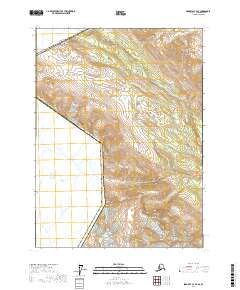
2017 · Skagway C-4 SE
USGS Topo · 1:25,000
2017 · Skagway C-4 SW
USGS Topo · 1:25,000
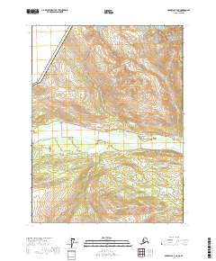
2017 · Skagway B-4 NE
USGS Topo · 1:25,000