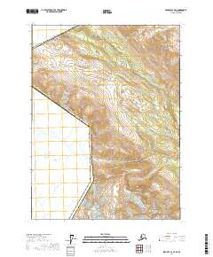
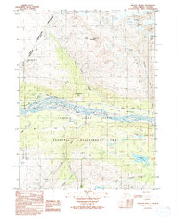
2017 Map of Skagway C-4 SE
USGS Topo · Published 2017About this map
The international border between the United States and Canada defines the northern and western reaches of this high-latitude survey within the Haines Borough. The landscape is dominated by significant elevation changes, anchored by peaks such as Mt Prinsep and Chilkat Peak, which rise above the glacial drainage systems. The Kelsall River and Nataga Cr provide the primary hydrological structure for the region, carving through the terrain near the eastern boundary. Mosquito Lake serves as a prominent landmark in the southern portion of the quadrangle, situated near the base of the surrounding heights. Human infrastructure is limited to the corridor of Kelsall Road, which follows the river valley, illustrating the sparse settlement patterns and the reliance on natural geographic breaks for transportation through this part of the Alaskan interior.
Find a feature on this map
15 named features on this map. Tap any name to fly to it.
Don’t see what you’re looking for? This feature index may not catch every label — zoom into the map to look around manually.
Map Details
Editions of this 2017 Skagway C-4 SE Map
This is the sole edition of this map. No revisions or reprints were ever made.
Other maps of this area

1948 · Skagway C-4
USGS Topo · 1:63,360

1948 · Skagway C-3
USGS Topo · 1:63,360

1952 · Skagway
USGS Topo · 1:250,000

1954 · Skagway B-3
USGS Topo · 1:63,360

1954 · Skagway B-4
USGS Topo · 1:63,360
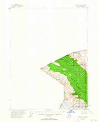
1954 · Skagway C-4
USGS Topo · 1:63,360
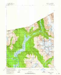
1954 · Skagway C-3
USGS Topo · 1:63,360

1961 · Skagway
USGS Topo · 1:250,000
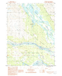
1991 · Skagway B-3 NW
USGS Topo · 1:25,000
1992 · Skagway B-4 NE
USGS Topo · 1:25,000