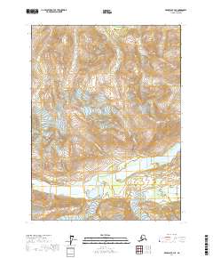
2017 Map of Skagway B-4 SE
USGS Topo · Published 2017About this map
Porcupine Peak stands as a prominent landmark in this corner of the Haines Borough, where the high ridges of the Alaska Range meet a complex drainage network. The landscape is defined by the broad glacial valleys of the Tsirku River and the Takhin River, which dominate the southern portion of the survey. Numerous steep-gradient streams, including Porcupine Cr, McKinley Cr, and Cahoon Cr, carve through the mountainous terrain to feed these larger river systems. The convergence of Nugget Creek with the Tsirku River illustrates the hydrological patterns typical of this sub-arctic environment, where seasonal melt from the peaks drives the flow of Summit Cr and Cottonwood Cr toward the valley floors.
Find a feature on this map
14 named features on this map. Tap any name to fly to it.
Don’t see what you’re looking for? This feature index may not catch every label — zoom into the map to look around manually.
Map Details
Editions of this 2017 Skagway B-4 SE Map
This is the sole edition of this map. No revisions or reprints were ever made.
Other maps of this area

1952 · Skagway
USGS Topo · 1:250,000

1954 · Skagway A-3
USGS Topo · 1:63,360

1954 · Skagway B-3
USGS Topo · 1:63,360

1954 · Skagway B-4
USGS Topo · 1:63,360
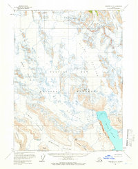
1961 · Skagway A-4
USGS Topo · 1:63,360

1961 · Skagway
USGS Topo · 1:250,000
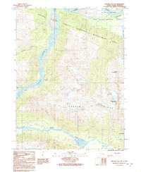
1991 · Skagway B-3 SW
USGS Topo · 1:25,000
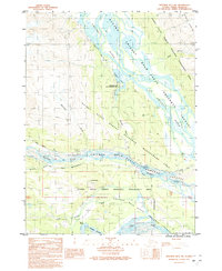
1991 · Skagway B-3 NW
USGS Topo · 1:25,000
1992 · Skagway B-4 NE
USGS Topo · 1:25,000
1992 · Skagway B-4 NW
USGS Topo · 1:25,000