
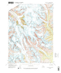
1948 Map of Skagway C-2
USGS Topo · Published 1964About this map
The Coast Range dominates this 1948 survey of the high mountain wilderness along the international boundary between Alaska and British Columbia. The map captures a landscape defined by massive ice fields and active glacial movement, with the sprawling Chilkat Glacier flowing toward the northwest and the Ferebee Glacier carving through the central southern portion of the quadrangle. This aerial-photogrammetric study reveals the topographical complexity of the era, showcasing the sharp peaks and steep drainage systems that feed into the Norse River. To the southeast, the Irene Glacier descends from the vicinity of Mt Yeatman, providing a detailed look at the frozen terrain at the edge of the United States and Canada border before significant modern recession.
Find a feature on this map
8 named features on this map. Tap any name to fly to it.
Don’t see what you’re looking for? This feature index may not catch every label — zoom into the map to look around manually.
Map Details
Editions of this 1948 Skagway C-2 Map
3 editions found
Other maps of this area

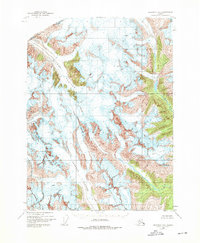
1948 · Skagway C-3
USGS Topo · 1:63,360

1948 · Skagway C-1
USGS Topo · 1:63,360

1949 · Skagway B-1
USGS Topo · 1:63,360
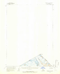
1949 · Skagway D-2
USGS Topo · 1:63,360

1951 · Skagway C-1
USGS Topo · 1:63,360

1951 · Skagway B-1
USGS Topo · 1:63,360

1951 · Skagway C-2
USGS Topo · 1:63,360

1952 · Skagway
USGS Topo · 1:250,000

1954 · Skagway B-2
USGS Topo · 1:63,360

1954 · Skagway B-3
USGS Topo · 1:63,360