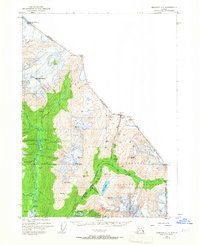
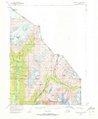
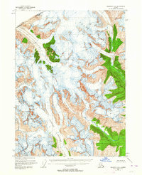
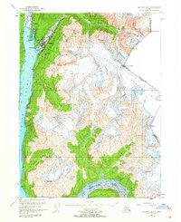
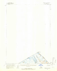
1948 Map of Skagway C-1
USGS Topo · Published 1967About this map
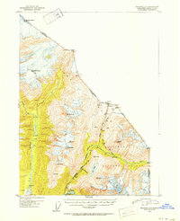
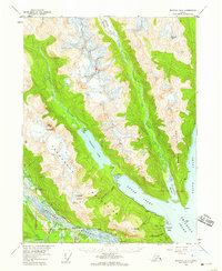
The rugged corridor between Alaska and British Columbia is defined by the historic overland routes that funneled thousands during the gold rush era. Following the Taiya River, the Chilkoot Trail climbs toward the formidable Chilkoot Pass on the international boundary, passing through checkpoints like Finnegans Point. To the east, the White Pass and Yukon Route railway winds along the Skagway River and through White Pass, serving as a vital industrial artery with infrastructure like the Water Tank near the Glacier station.
Find a feature on this map
50 named features on this map. Tap any name to fly to it.
Don’t see what you’re looking for? This feature index may not catch every label — zoom into the map to look around manually.
Map Details
Editions of this 1948 Skagway C-1 Map
2 editions found
Other maps of this area
1948 · Skagway C-2
USGS Topo · 1:63,360

1949 · Atlin
USGS Topo · 1:250,000
1949 · Skagway B-1
USGS Topo · 1:63,360
1949 · Skagway D-2
USGS Topo · 1:63,360
1951 · Skagway C-1
USGS Topo · 1:63,360

1951 · Atlin
USGS Topo · 1:250,000
1951 · Skagway B-1
USGS Topo · 1:63,360
1951 · Skagway C-2
USGS Topo · 1:63,360

1952 · Skagway
USGS Topo · 1:250,000
1954 · Skagway B-2
USGS Topo · 1:63,360